Last time out, Derek Brook showed us around Carnaby Street, the epicentre of ‘Swinging’ London in the mid 1960s. This time we jump on the bus and head to the East End.
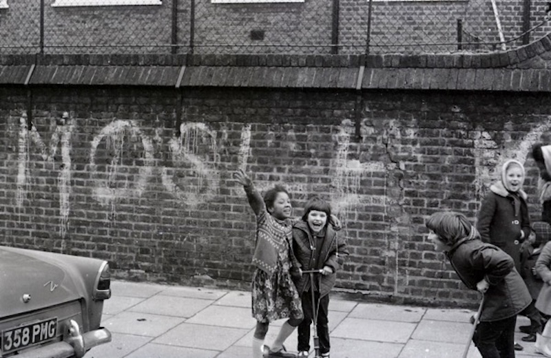
We go on a visual tour from around Whitechapel Station by the Royal London Hospital, through the market, not far from Spitalfields, and up the road to Mile End, Limehouse, Polar, Middlesex Street, past the racist graffiti for ‘MOSELEY’ and pause by an old synagogue in Brick Lane, built when the area was the epicentre of Jewish life in the capital.
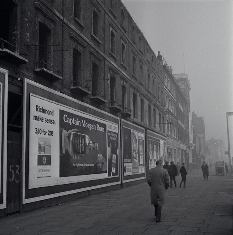
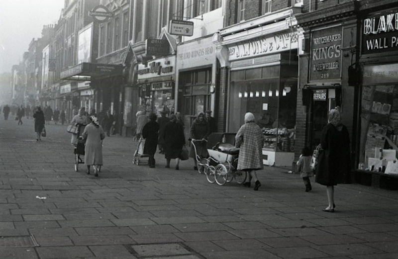
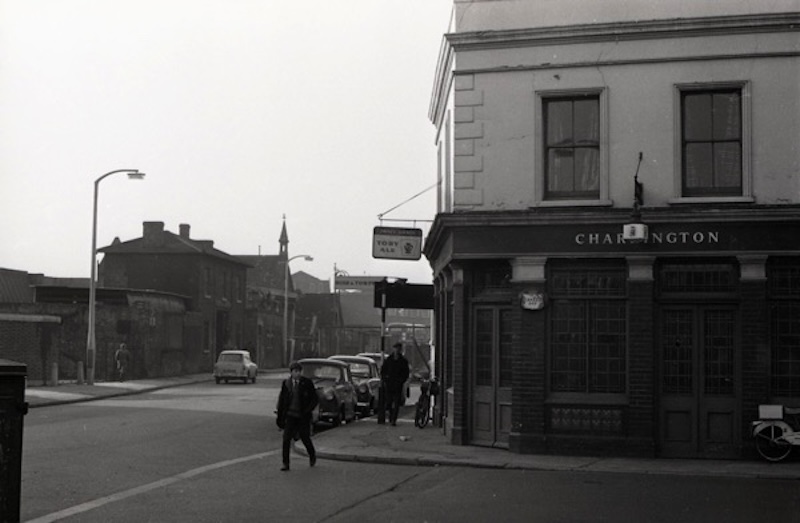
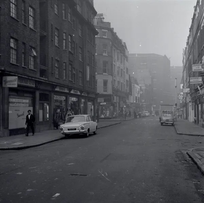
Whitechapel Rd E1
Whitechapel Rd E1
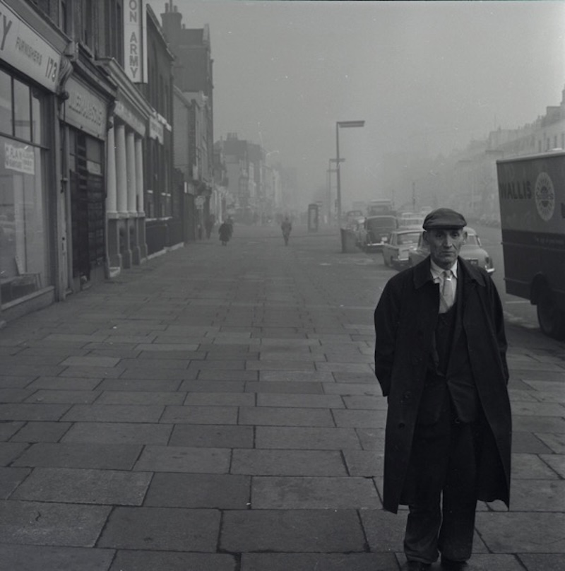
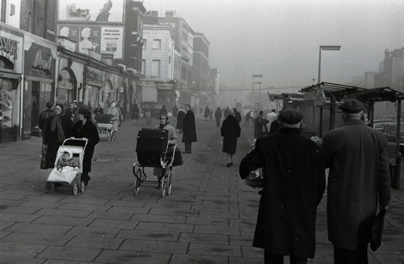
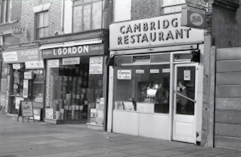
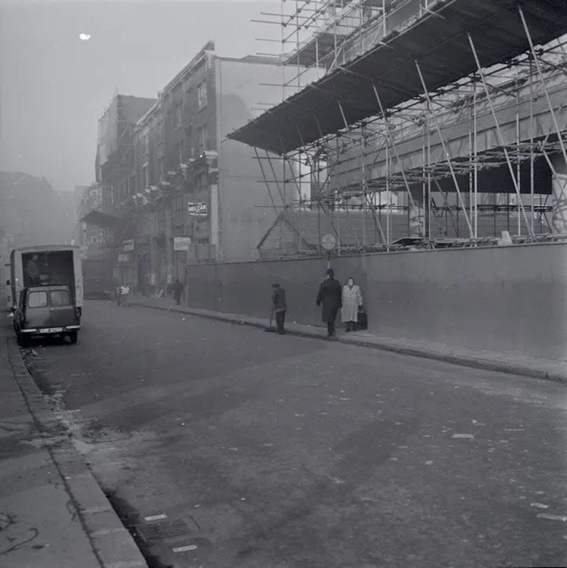
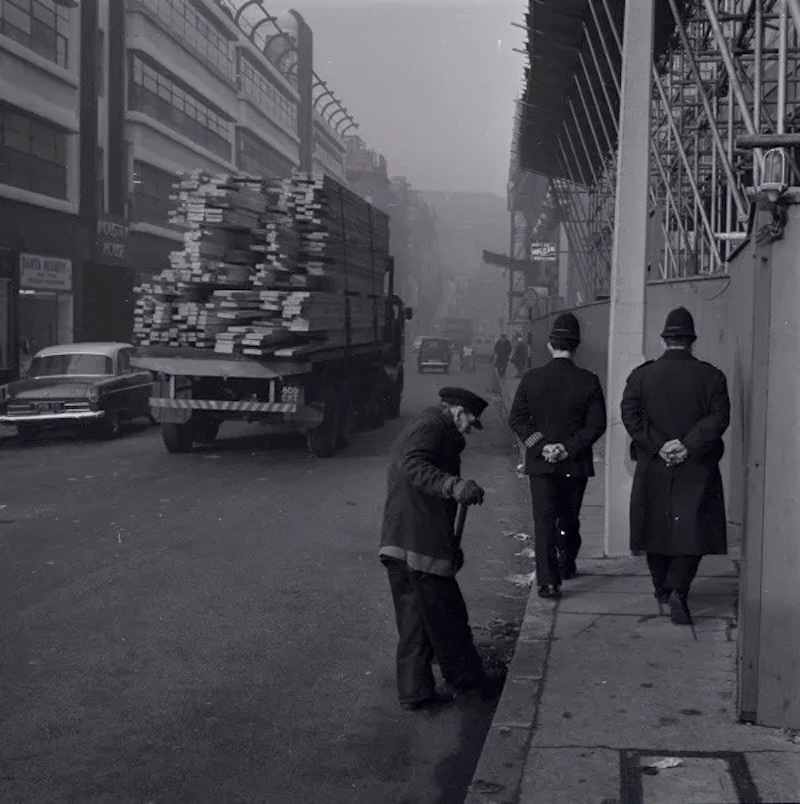
Whitechapel Rd
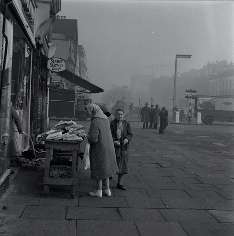

Whitechapel Rd
Whitechapel Rd
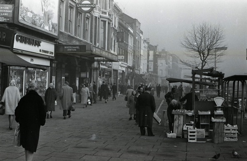
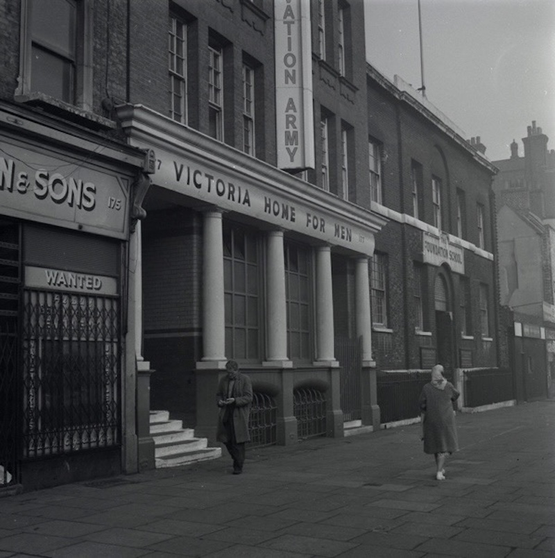
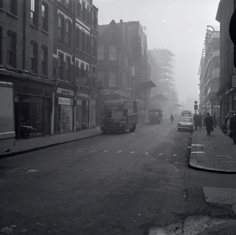
Whitechapel Station
Whitechapel Station
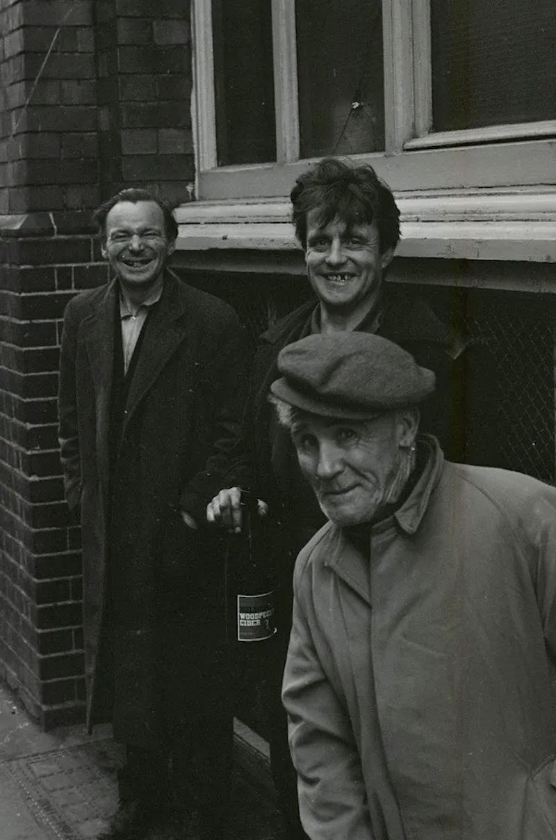
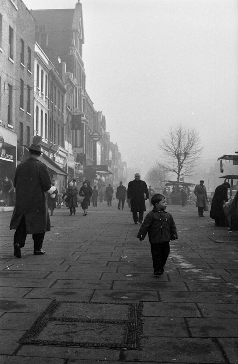
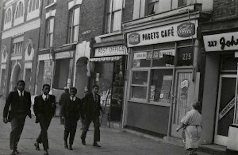
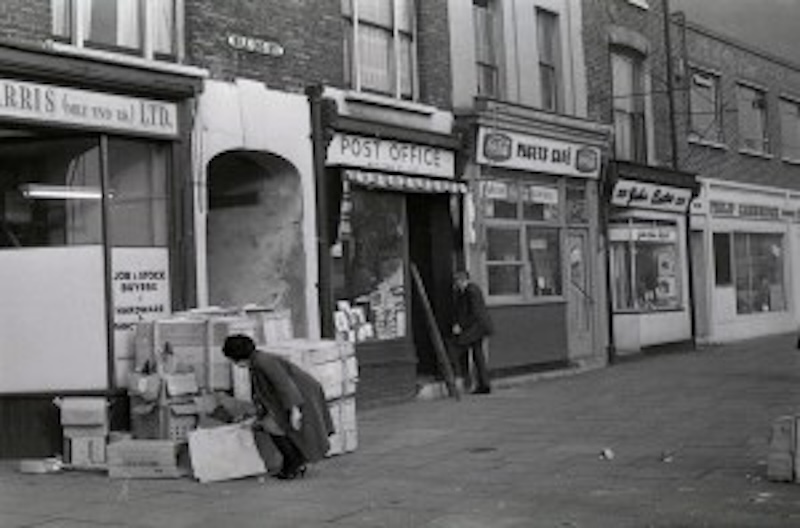
Whitechapel Market
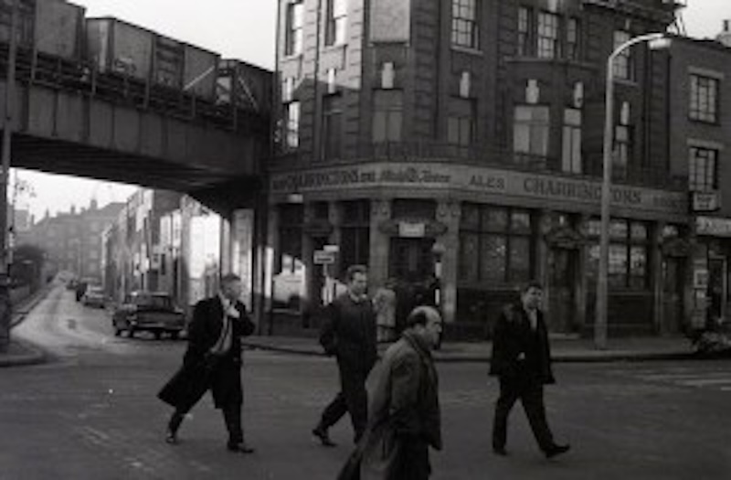
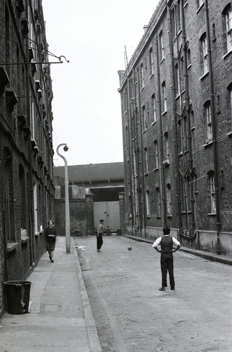
Mile End
Mile End
Mile End
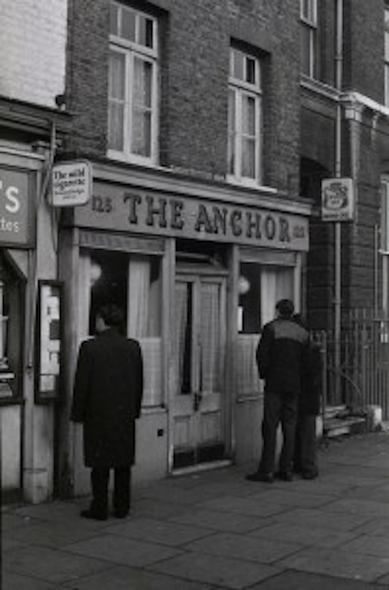
The Anchor Mile End Road
The Anchor Mile End Road
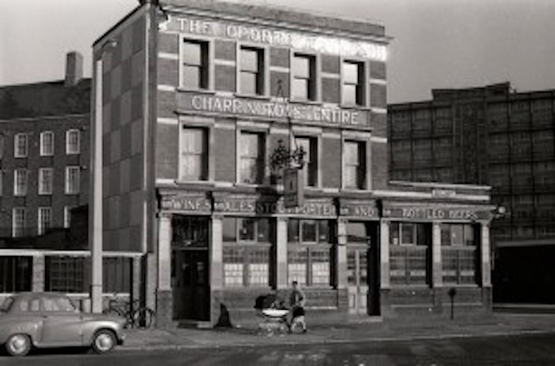
The Oporto Tavern, West India Dock Rd
The Prince Alfred, Poplar High St
Wood St, off Cheshire St
Great Eastern Buildings, Quaker St
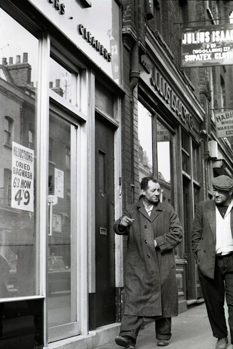
Brick Lane
Middlesex St
Middlesex St, The Bell
Middlesex St The Bell
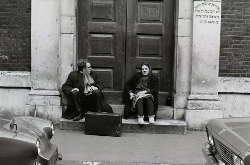
On the steps of the synagogue, Brick Lane
Photographs courtesy Bishopsgate Institute
Would you like to support Flashbak?
Please consider making a donation to our site. We don't want to rely on ads to bring you the best of visual culture. You can also support us by signing up to our Mailing List. And you can also follow us on Facebook, Instagram and Twitter. For great art and culture delivered to your door, visit our shop.