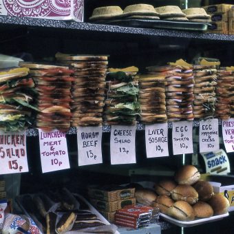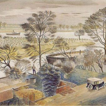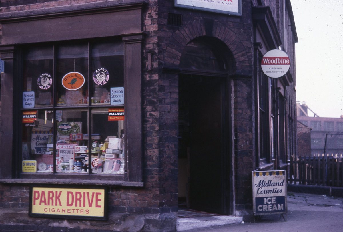
These snapshots of Sheffield in the 1970s were used as teaching aids by JR ‘Jimmy’ James, Professor of Town and Regional Planning at Sheffield University. He held the post for several years before his untimely death in 1980. Prior to that he was the Chief Planner at the Ministry of Housing and Local Government.
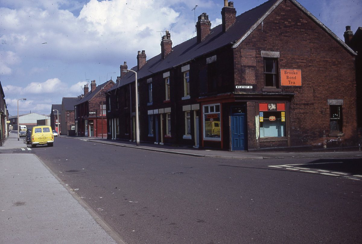
Junction of Wilstrop Road & Shirland Lane, Darnall, Sheffield
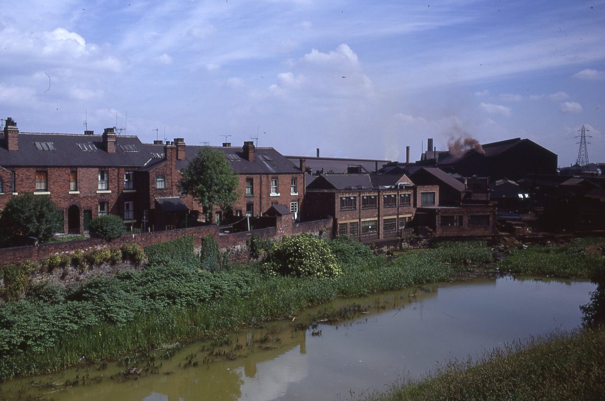
Sheffield Canal from Shirland Lane, Darnall, Sheffield
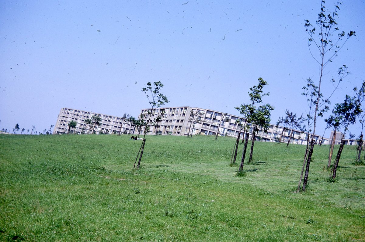
Park Hill, Sheffield.
Image taken around 1970, belonging to Professor JR James of the Department of Town and Regional Planning at The University of Sheffield.
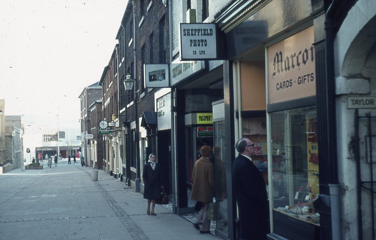
Norfolk Row, Sheffield
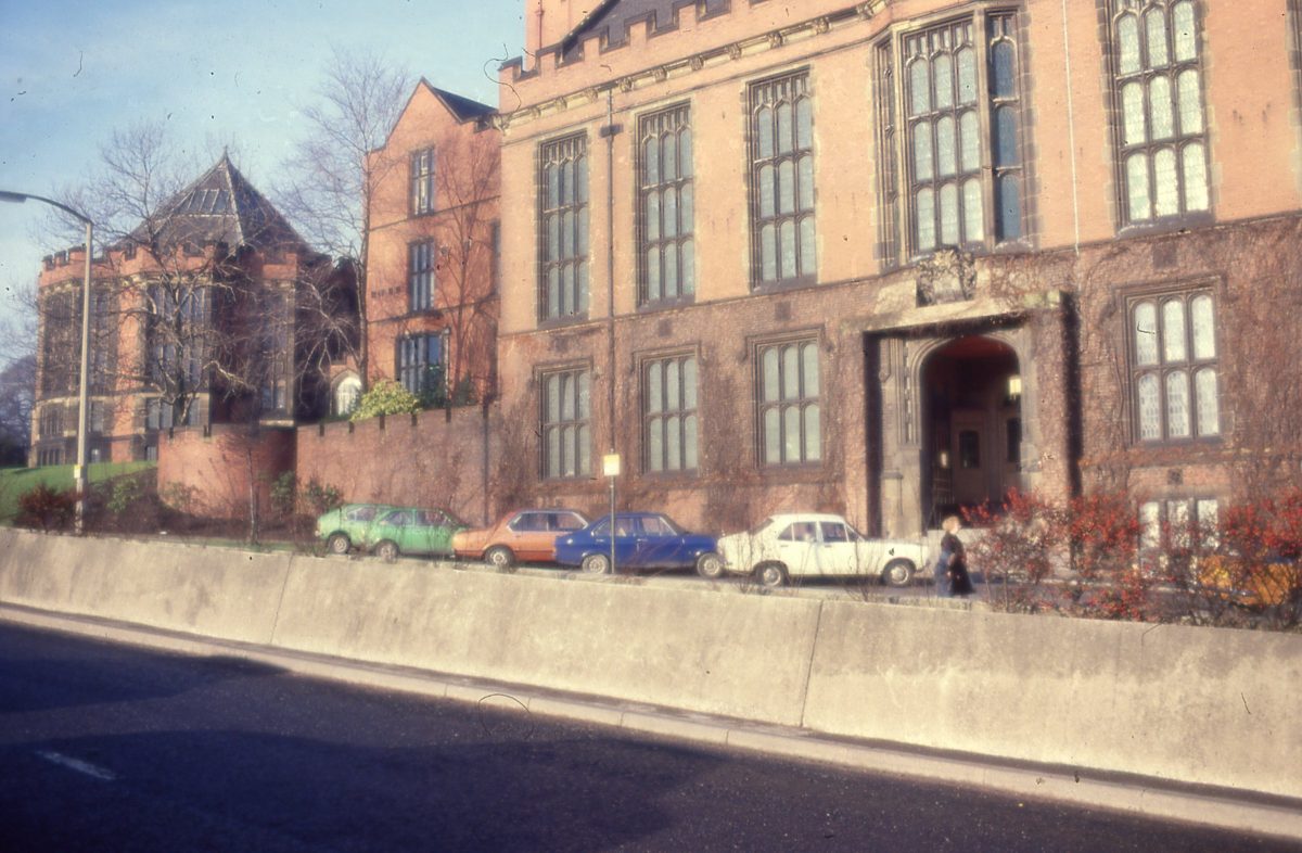
Firth Court, Sheffield
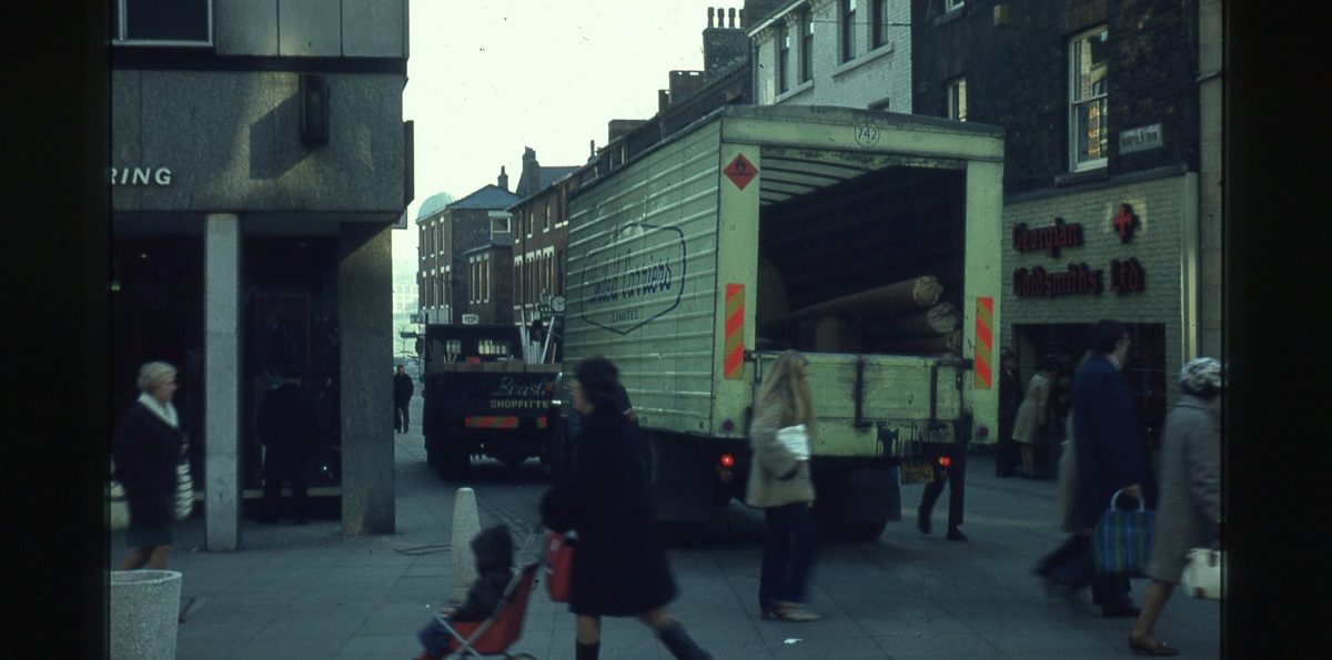
Norfolk Row, Sheffield
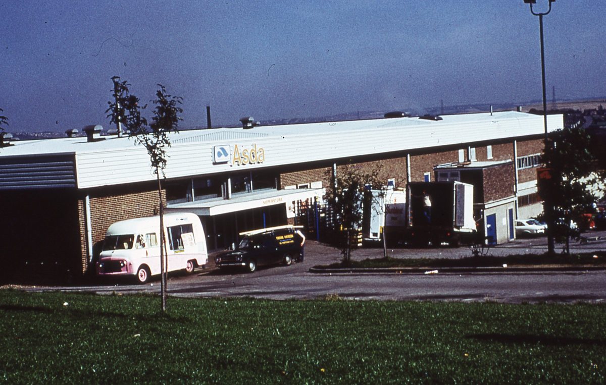
Asda Superstore, Dore House Industrial Estate, Handsworth, Sheffield, October 1974.
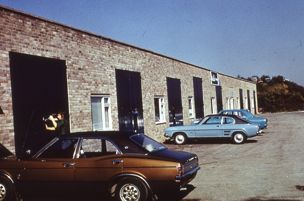
Finchwell Road, Handsworth, Sheffield, October 1974.
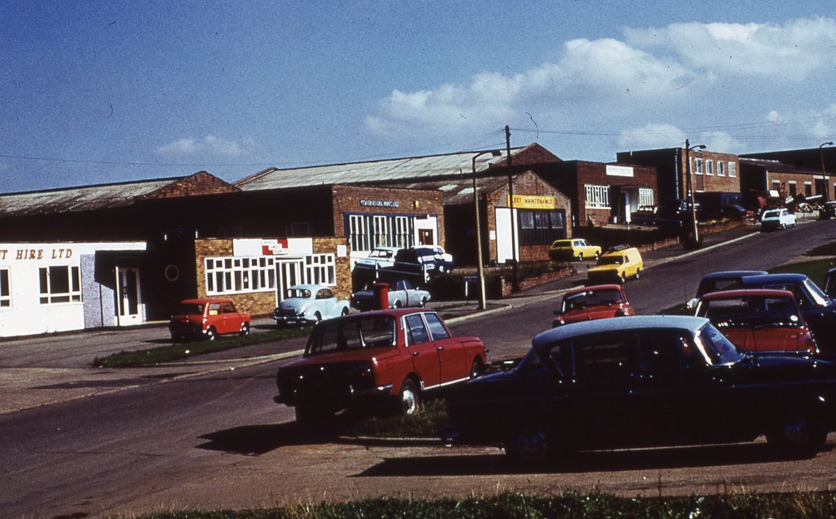
Coleford Road, Tinsley Park, Sheffield, October 1974.
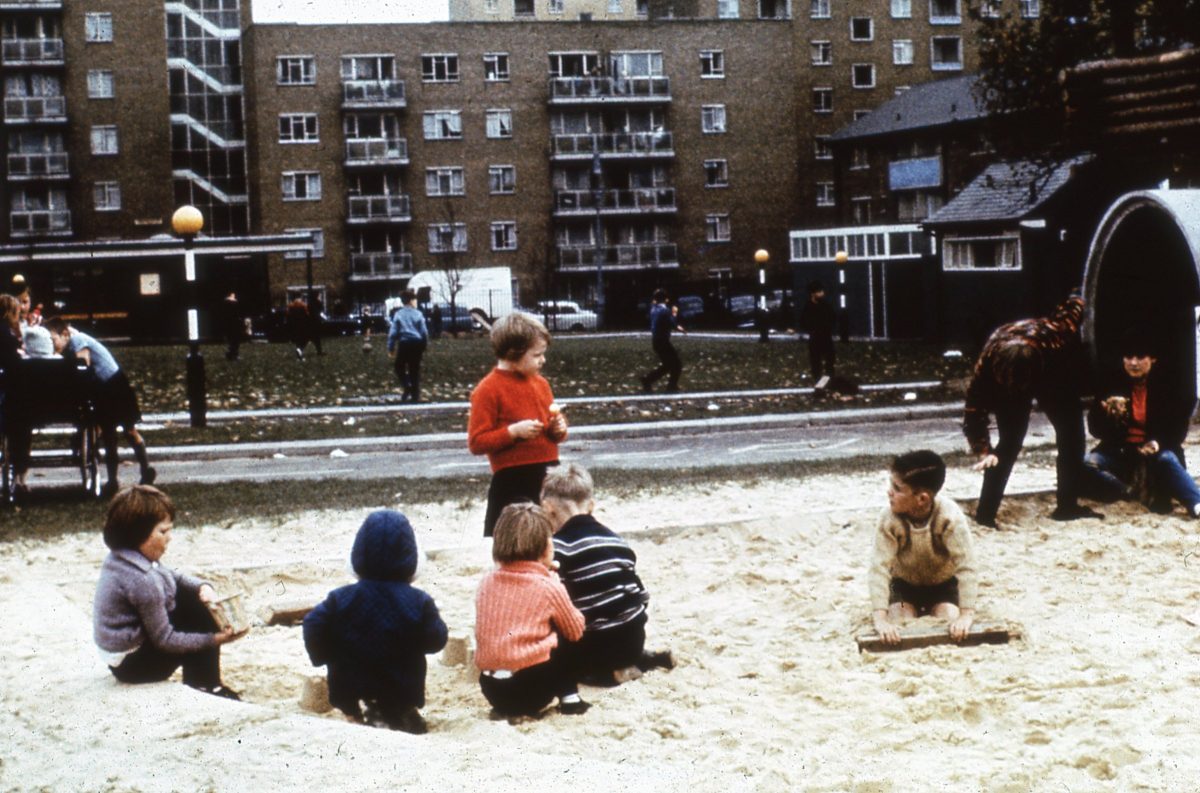
Parkhill, Sheffield
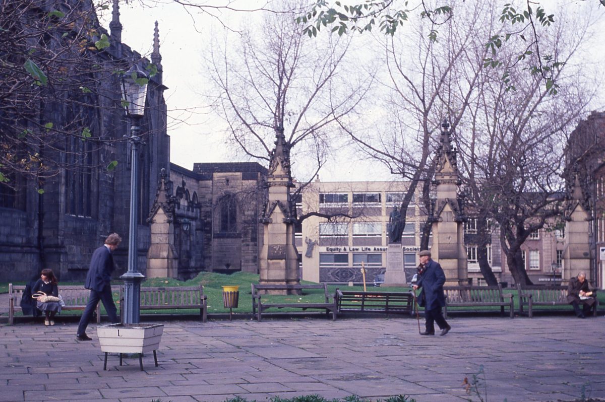
James Montgomery Statue in the setting of the Cathedral Forecourt, Sheffield.
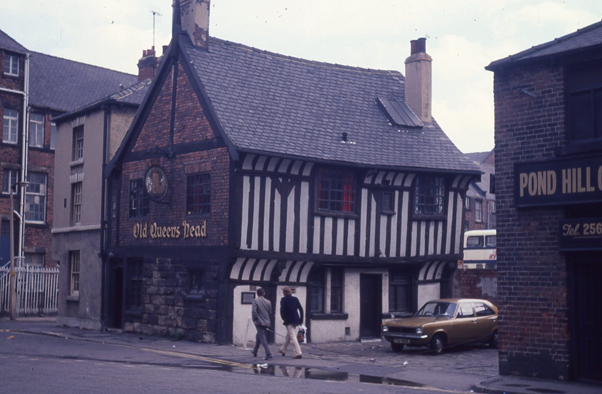
Old Queens Head Pub, Pond Hill, Sheffield
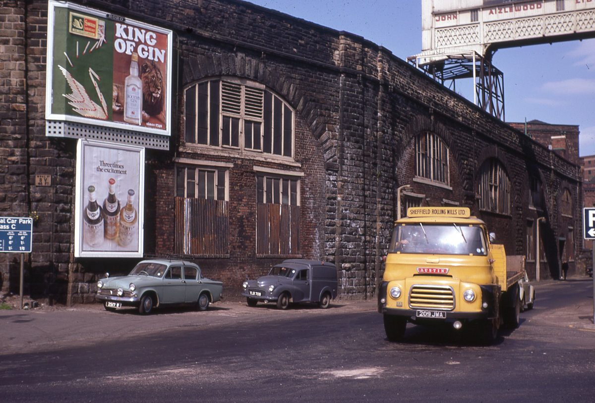
View of The Wicker Arches from Walker Street, Sheffield.
The Grade II* listed Wicker Arches, is officially called the Sheffield Victoria Viaduct, as it supported Sheffield Victoria Station, which closed to passengers in 1970.
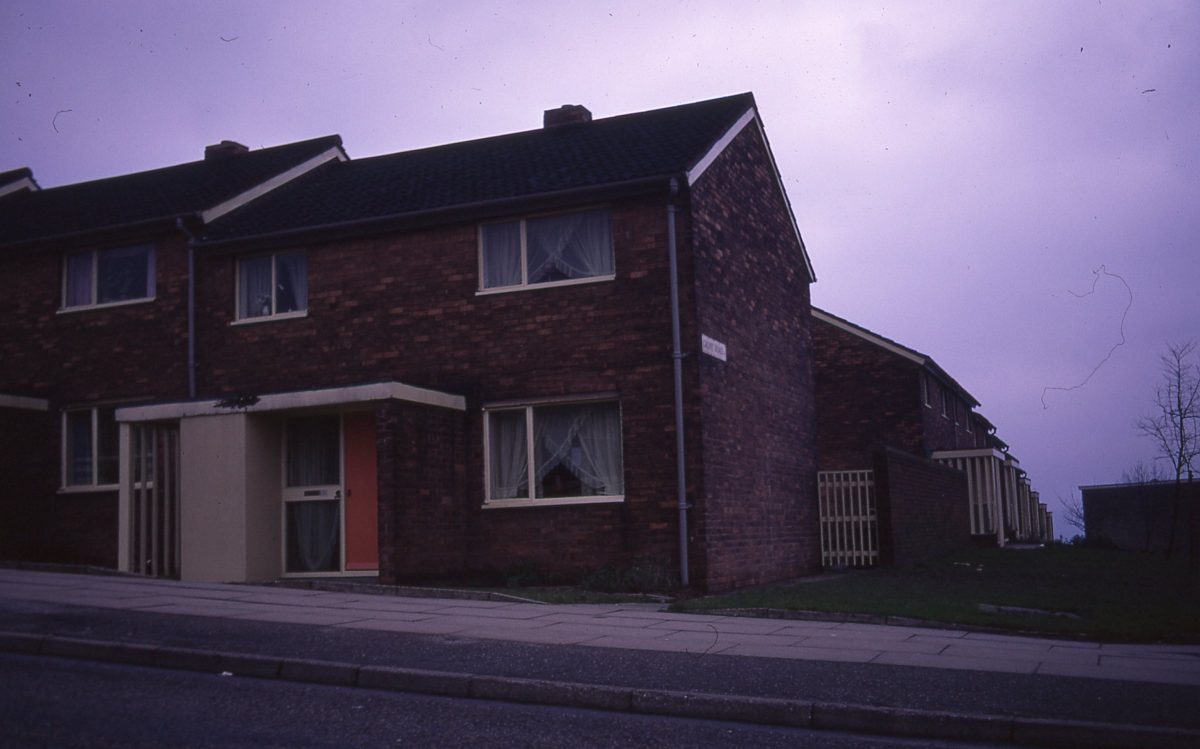
Housing, junction of Blackstock Road and Gaunt Road, Gleadless Valley, Sheffield, 1972.
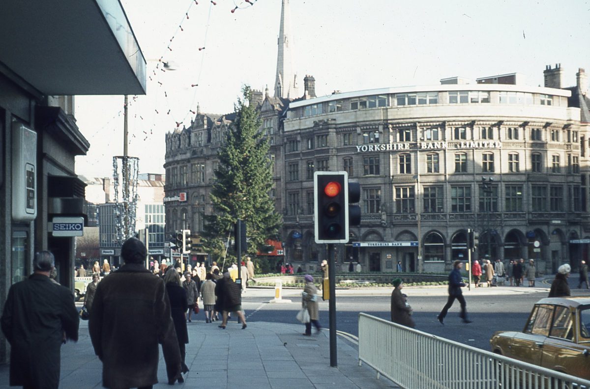
Fargate, Sheffield
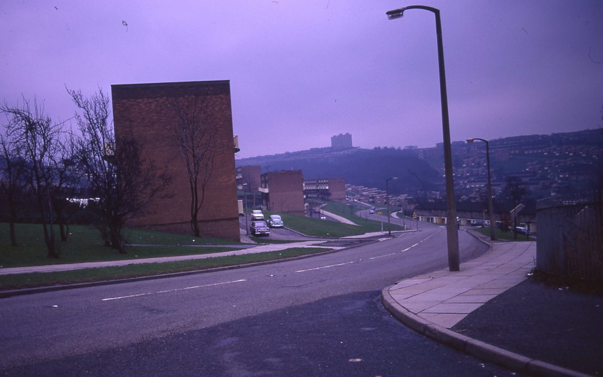
Housing at junction of Blackstock Road and Callow Road, looking towards Gleadless Valley, Sheffield, 1972.
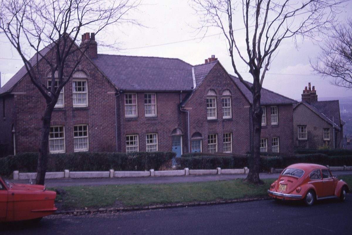
Housing, Heavygate Avenue, Crookes, Sheffield, 1972.
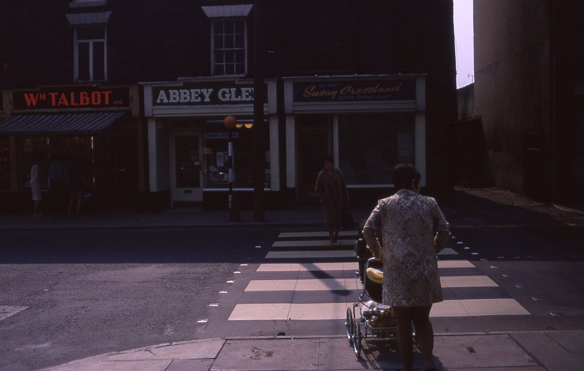
Whitham Road, The Broomhill Study, Sheffield, May 1970.
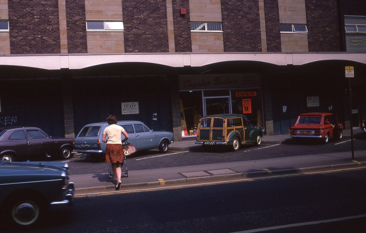
New shops on Fulwood Road, The Broomhill Study, Sheffield, May 1970.
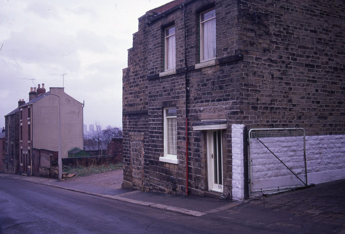
Housing, Sheffield, 1972.
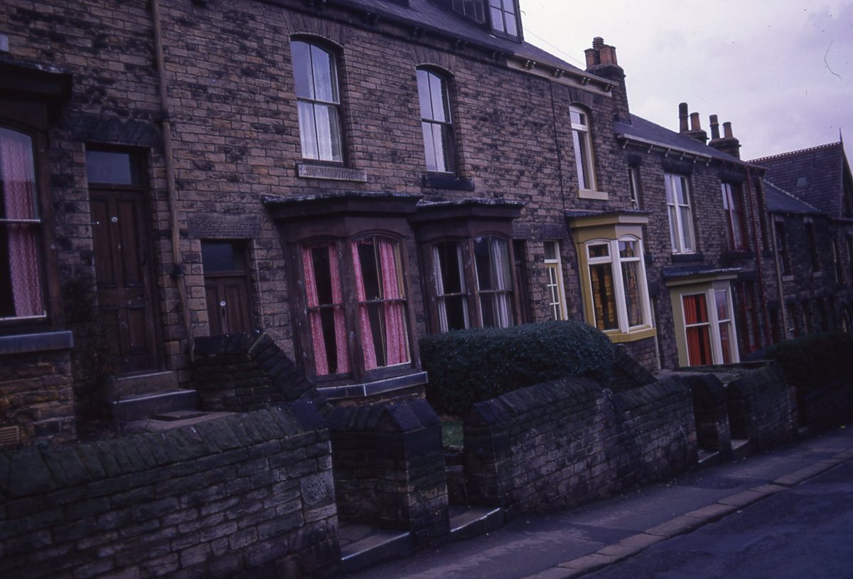
Housing, Sheffield, 1972
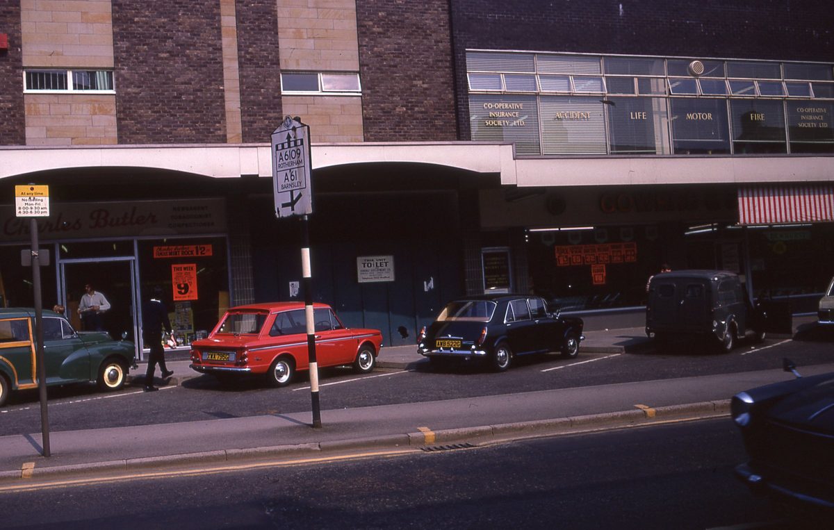
New shops on Fulwood Road, The Broomhill Study, Sheffield, May 1970.
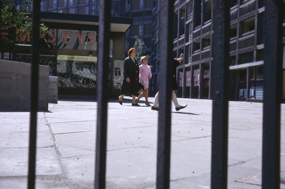
Park Hill, Sheffield
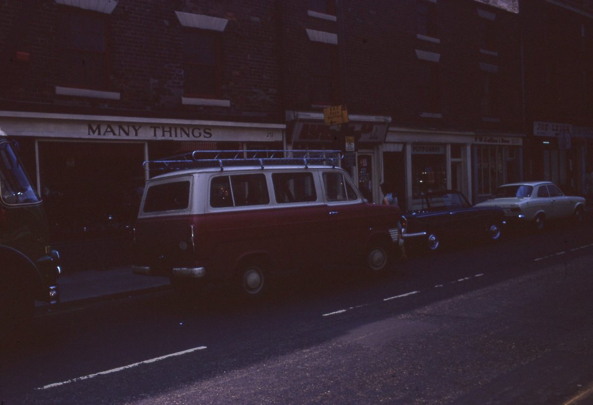
Fulwood Road shops, The Broomhill Study, Sheffield, May 1970.
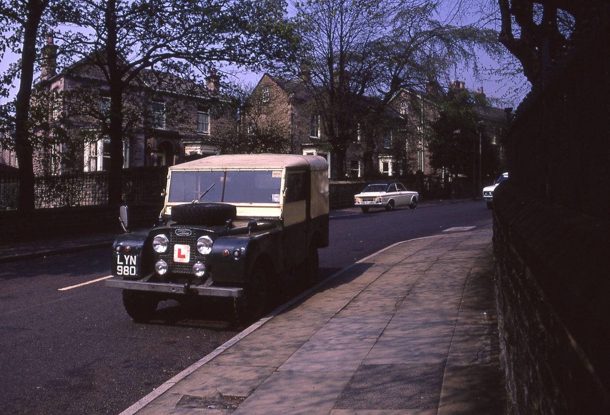
View up Taptonville Road, The Broomhill Study, Sheffield, May 1970.
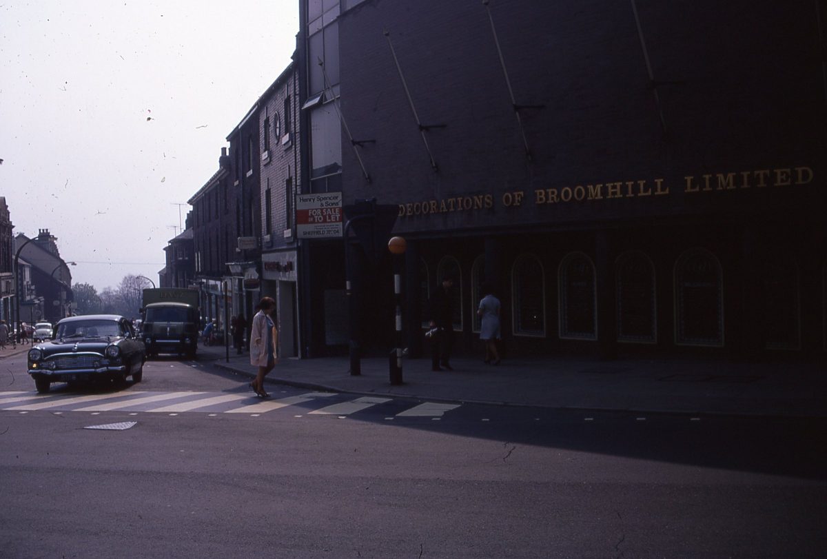
Junction of Glossop Road & Fulwood Road, The Broomhill Study, Sheffield, May 1970.
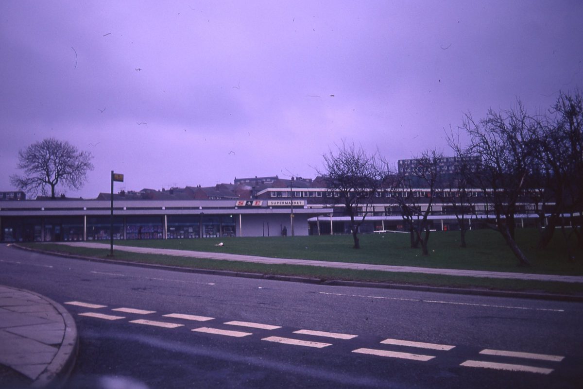
Junction of Blacklock Road and Callow Road, looking toward Gleadless Road and Newfield Green shops, Sheffield, 1972.
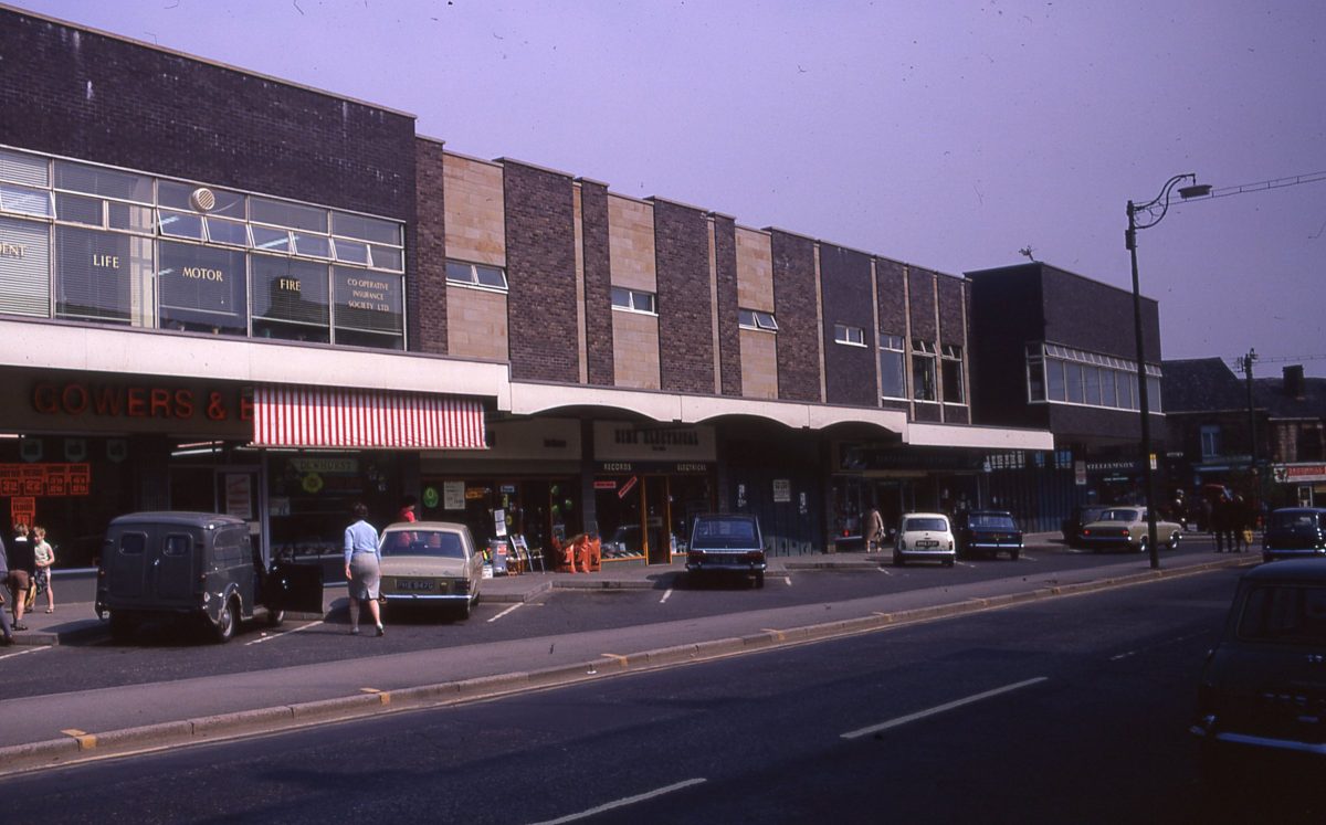
New shops on Fulwood Road, The Broomhill Study, Sheffield, May 1970.
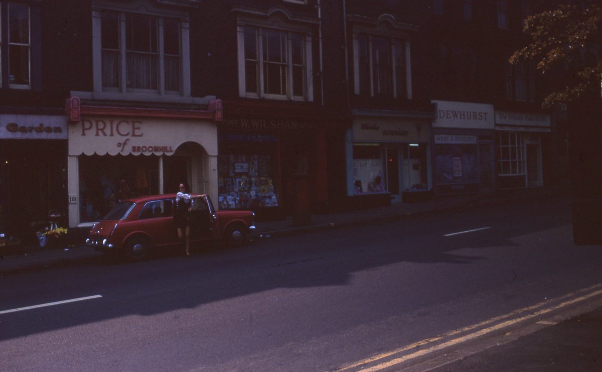
Fulwood Road shops, The Broomhill Study, Sheffield, May 1970.
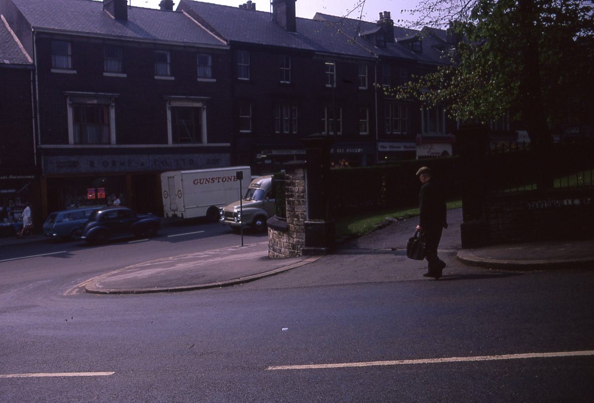
Junction of Taptonville Road & Fulwood Road, The Broomhill Study, Sheffield, May 1970.
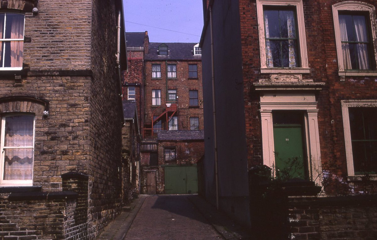
Housing on Ashgate Road & view of rear of shops on Fulwood Road, The Broomhill Study, Sheffield, May 1970.
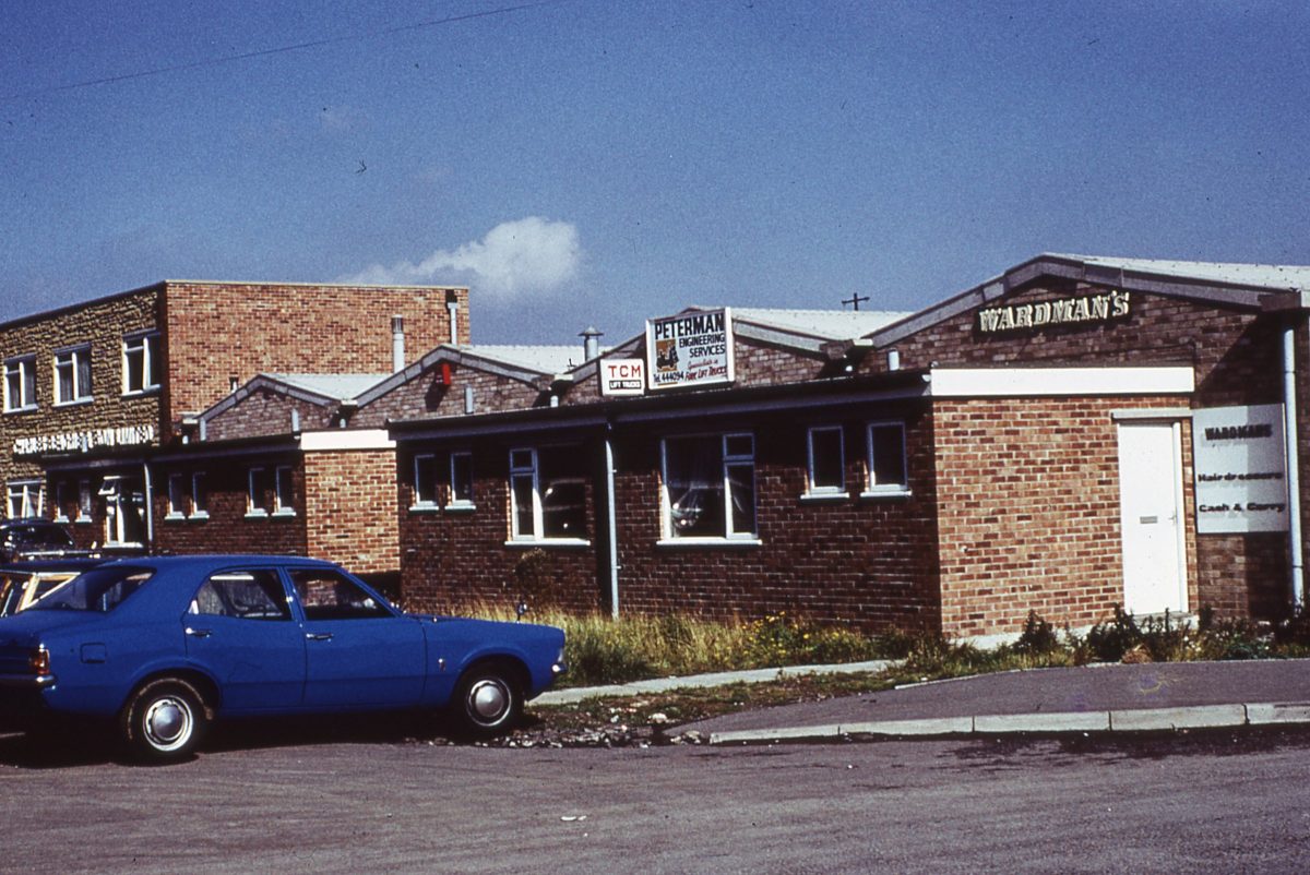
Finchwell Road, Handsworth, Sheffield, October 1974.
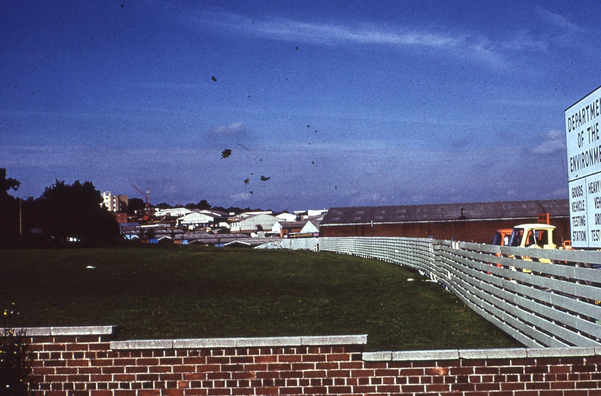
Landscape buffer at Dore House Industrial Estate, Handsworth, Sheffield, October 1974.
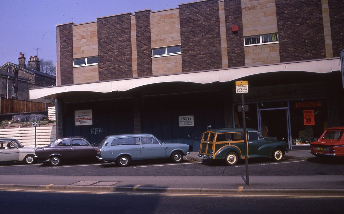
New shops on Fulwood Road, The Broomhill Study, Sheffield, May 1970.
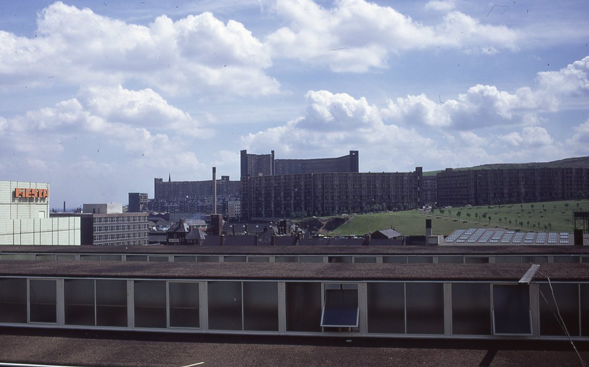
Park Hill and Hyde Park flats viewed from Arundel Gate, Sheffield.
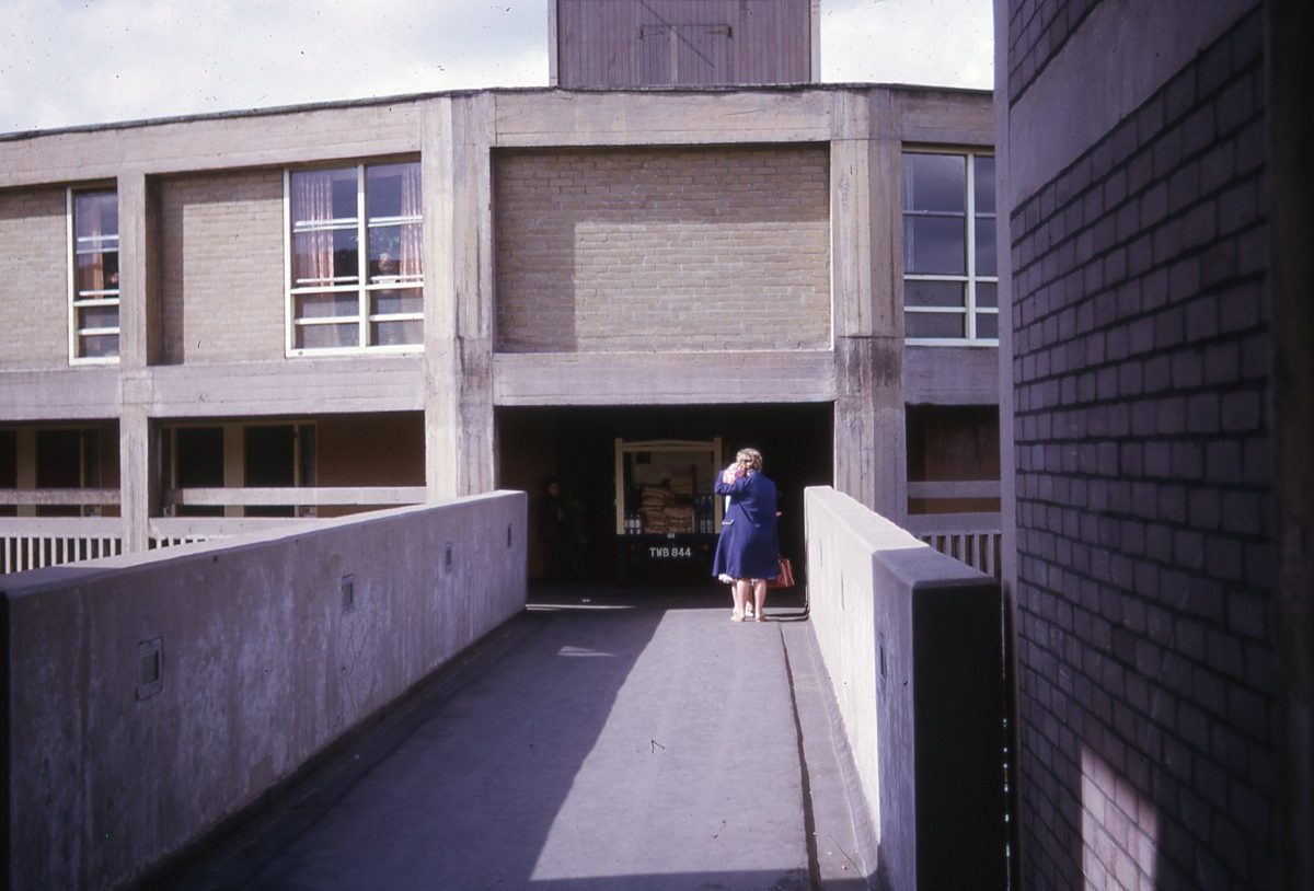
Streets in the Sky, Park Hill, Sheffield
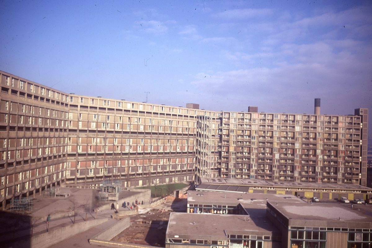
Park Hill, Sheffield
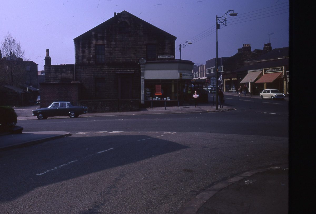
Whitham Road and Newbould Lane, The Broomhill Study, Sheffield, May 1970
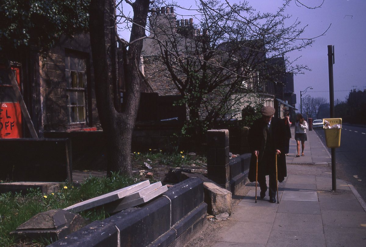
Whitham Road, The Broomhill Study, Sheffield, May 1970
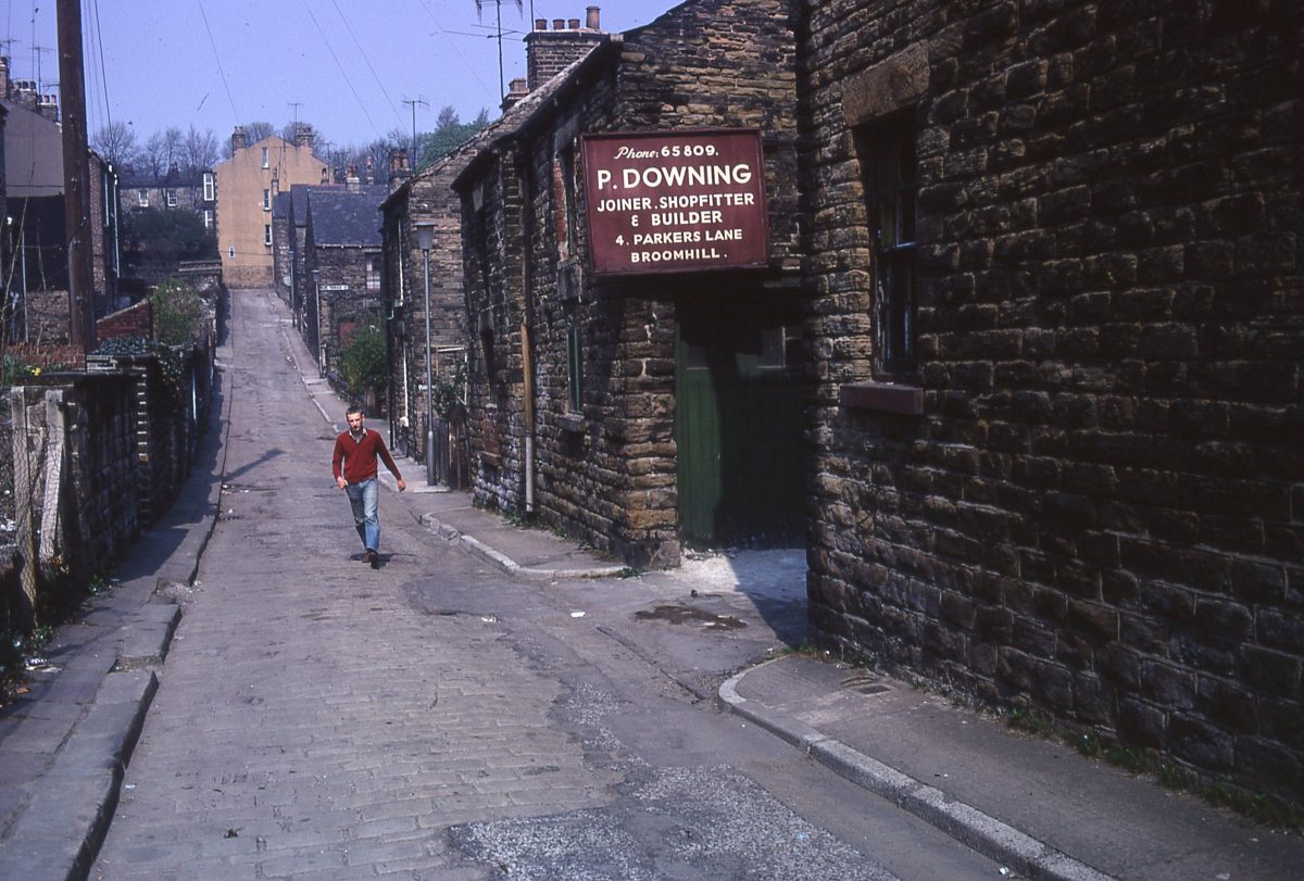
Parkers Lane, The Broomhill Study, Sheffield, May 1970
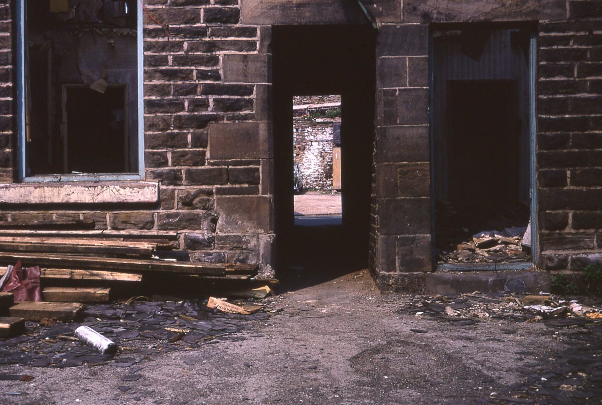
Slums on Nile Street/Peel Street, The Broomhill Study, Sheffield, May 1970.
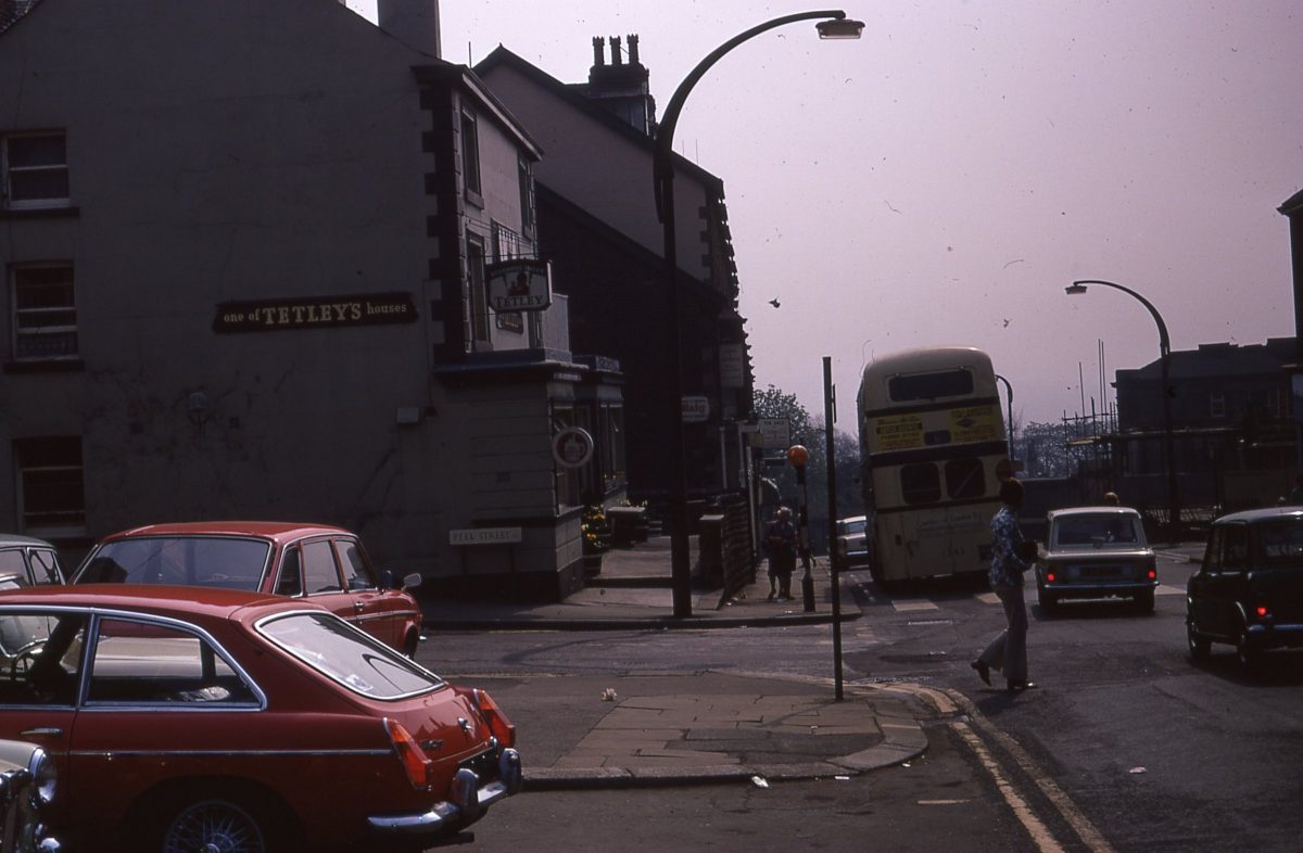
View down Glossop Road from the Broomhill Tavern, The Broomhill Study, Sheffield, May 1970.
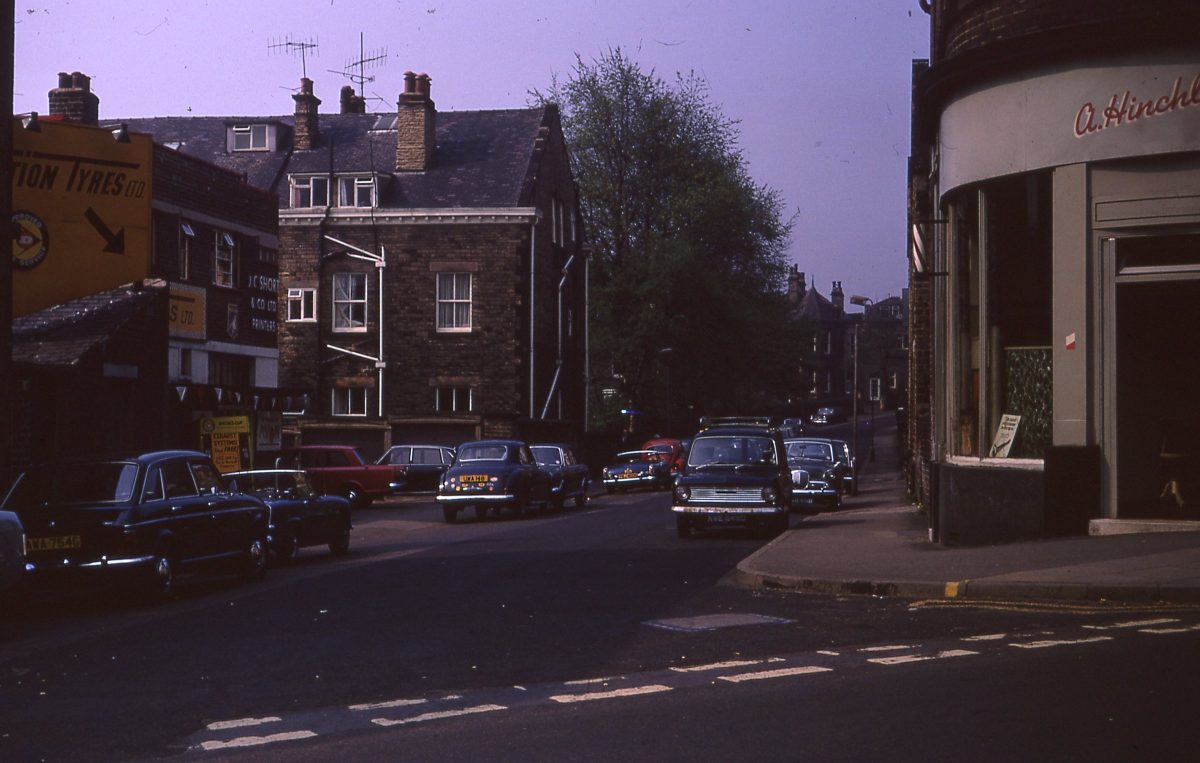
View down Ashgate Road from Glossop Road, The Broomhill Study, Sheffield, May 1970.
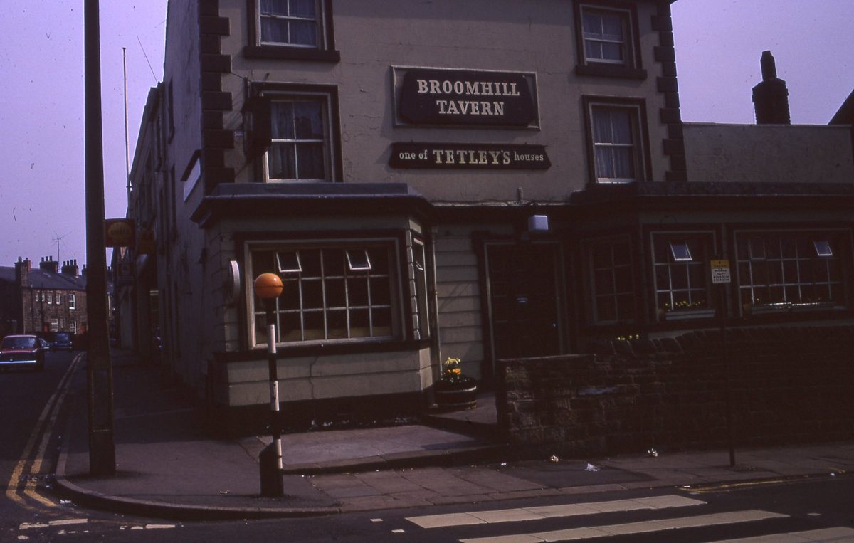
The Broomhill Tavern, on Glossop Road and Peel Street, The Broomhill Study, Sheffield, May 1970.
Via: R James Archive


