We’ve got some half priced cracked ice
And miles and miles of carpet tiles
TVs, deep freeze and David Bowie LPs
Pool games, gold chains, what’s-a-names
And at a push,
Some Trevor Francis tracksuits
From a mush in Shepherd’s Bush…
– Only Fools And Horses, 1981
It’s 1988, and we’re heading up and down the Uxbridge Road in London’s Shepherd’s Bush with photographer Peter Marshall, taking in Holland Park Roundabout not far from the Westway – the one with the cookie-cut sheep crossing the arch above the entrance to the underpass – and mooching around the Empire, where the BBC recorded shows like Crackerjack (“Crackerjack!”), The Old Grey Whistle Test and the Eurovision Song Contest.
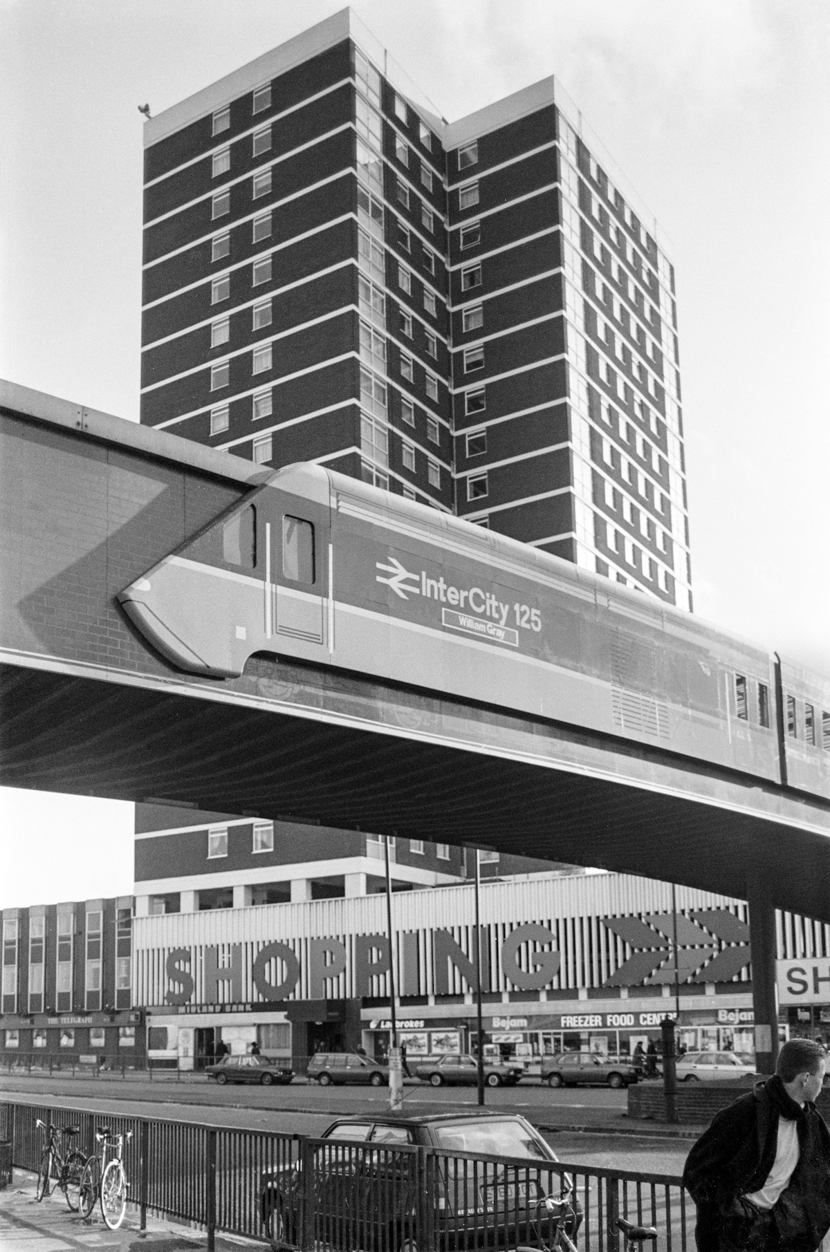
Long before the gigantic Westfield Shopping Centre landed in W12 in 2008 and house prices rocketed from three times to eight times a mortgage hunter’s annual salary, Shepherd’s Bush was alive with BBC workers from the nearby Television Centre (now partially redeveloped as flats), people crossing the busy roads around Shepherd’s Bush Green green via a bridge designed to look like an intercity train (demolished in 1990) and fans and players of Queens Park Rangers football club, where the aforementioned Trevor Francis was the team’s player-manager.

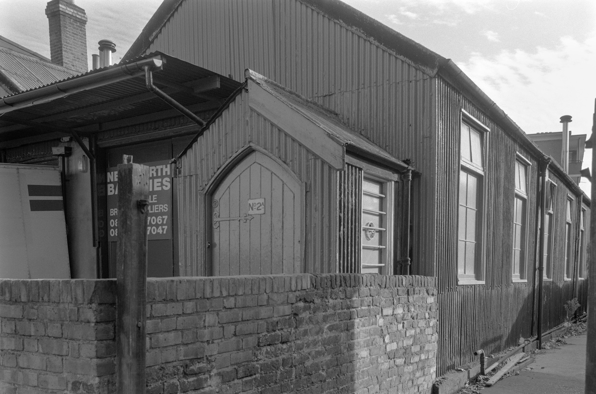
New North Wholesale Bakeries, Shepherds Bush, 1990
Located on the Devil’s Highway, an old Roman road from London to Silchester, “Sheppard’s Bush Green” was first recorded as a place name in 1635.
The Devil’s Highway ran along what is now the south side of Shepherd’s Bush Green and most of Goldhawk Road, continuing in a straight line to what is now Brentford.
A later road to Oxford, known as the North Highway (and now Uxbridge Road), forked from the Devil’s Highway at the eastern apex of Shepherd’s Bush Green.
Shepherd’s Bush was part of the Bishop of London’s land from 1691 – the boundary with Kensington was Counter’s Creek, shown on John Rocque’s 1757 map of Middlesex.
Apart from a few isolated buildings, the area was almost entirely rural until the 1860s, when the rapid expansion of London and the railways saw the start of a building frenzy that brought a massive increase in population.
– Richard Gregory, who has written a really good history of the area.
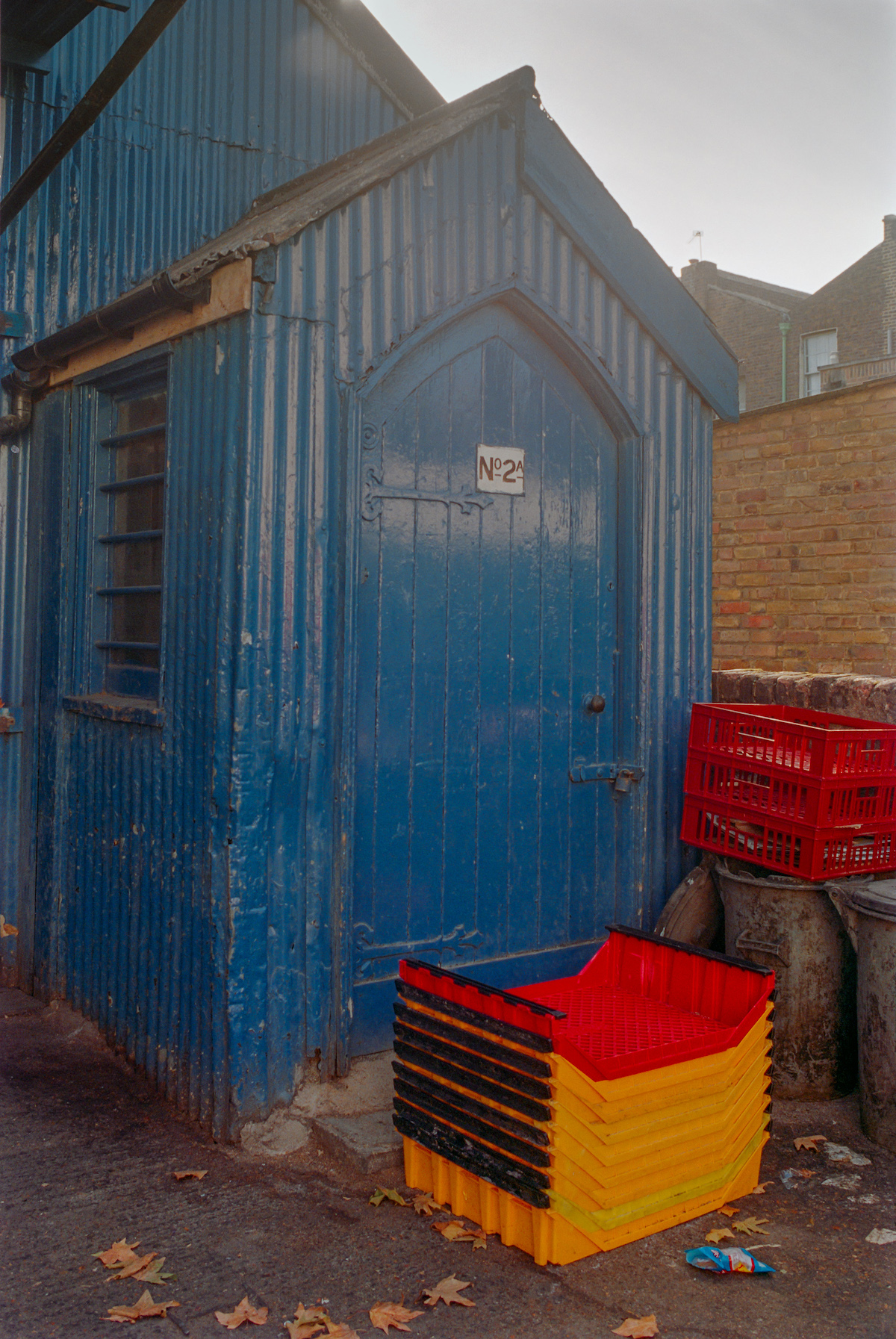

New North Wholesale Bakeries, 1990

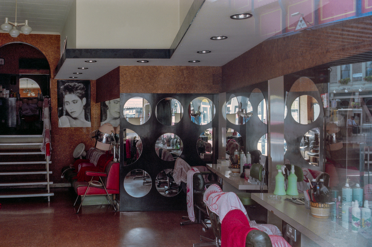
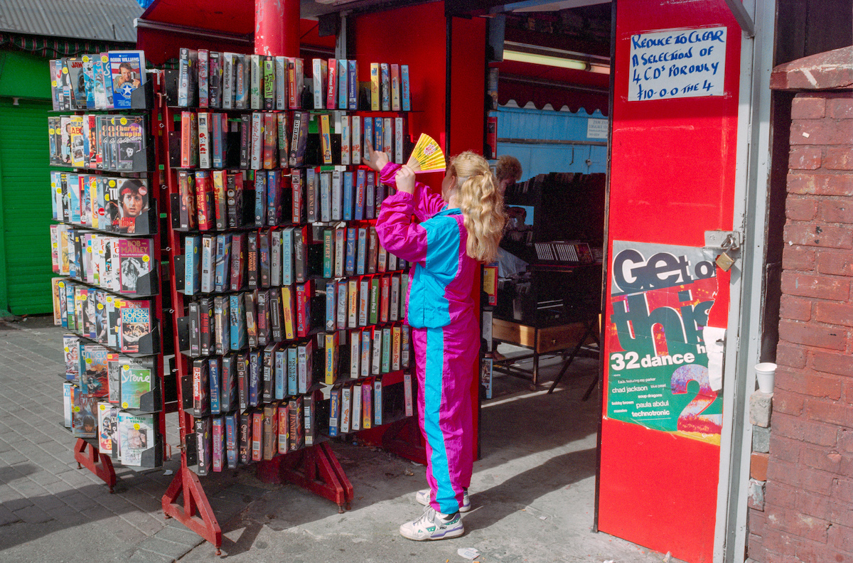
Norland Rd, Shepherds Bush, 1988
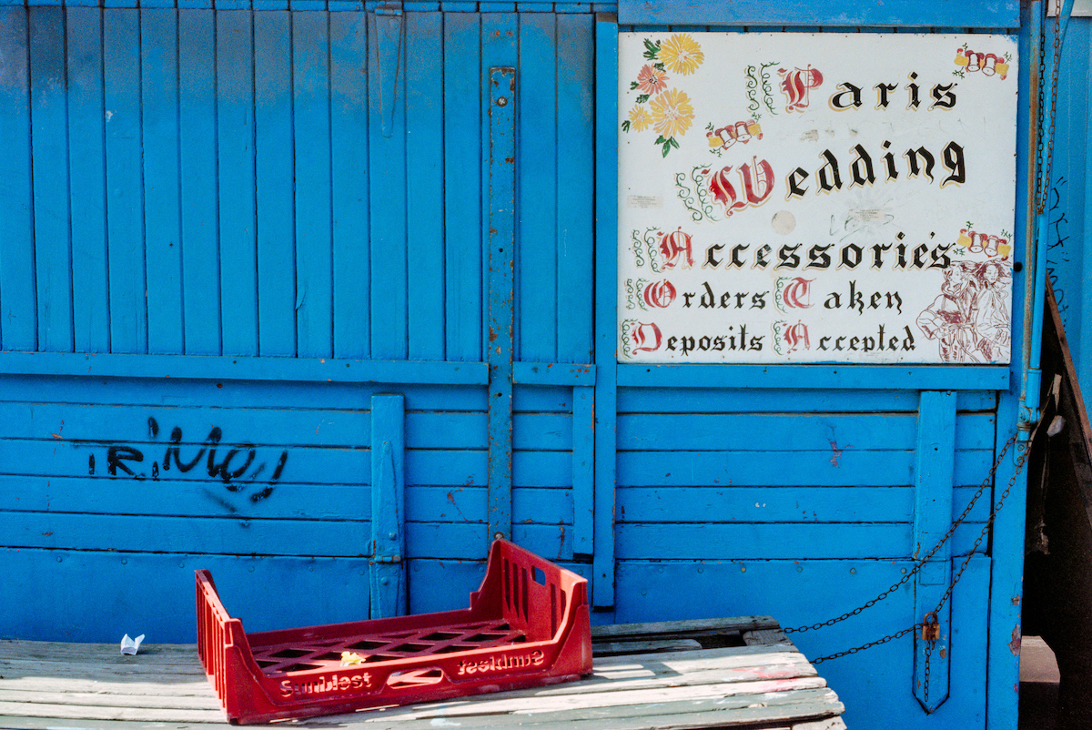
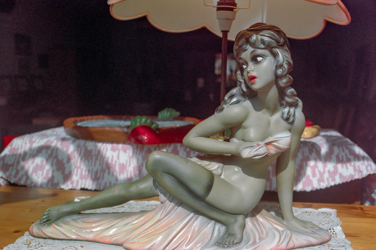
Paris Wedding Accessories, Shepherds Bush, 1990
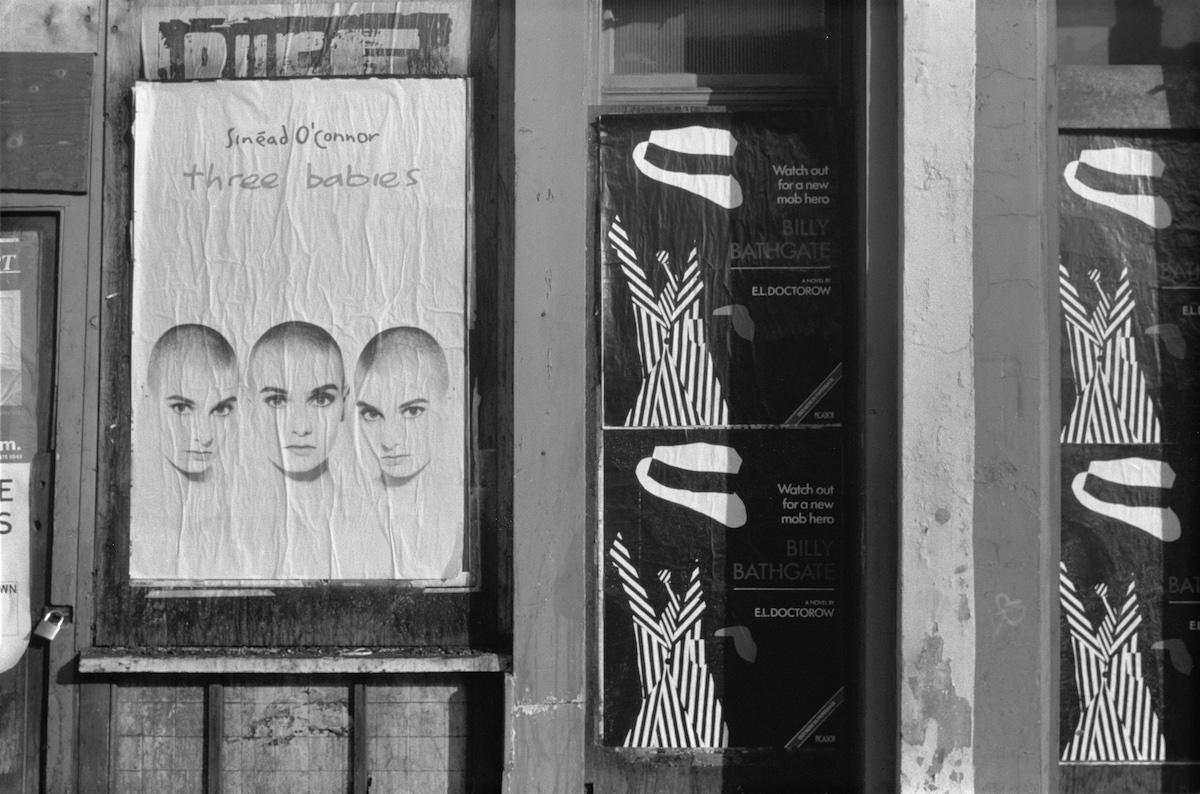
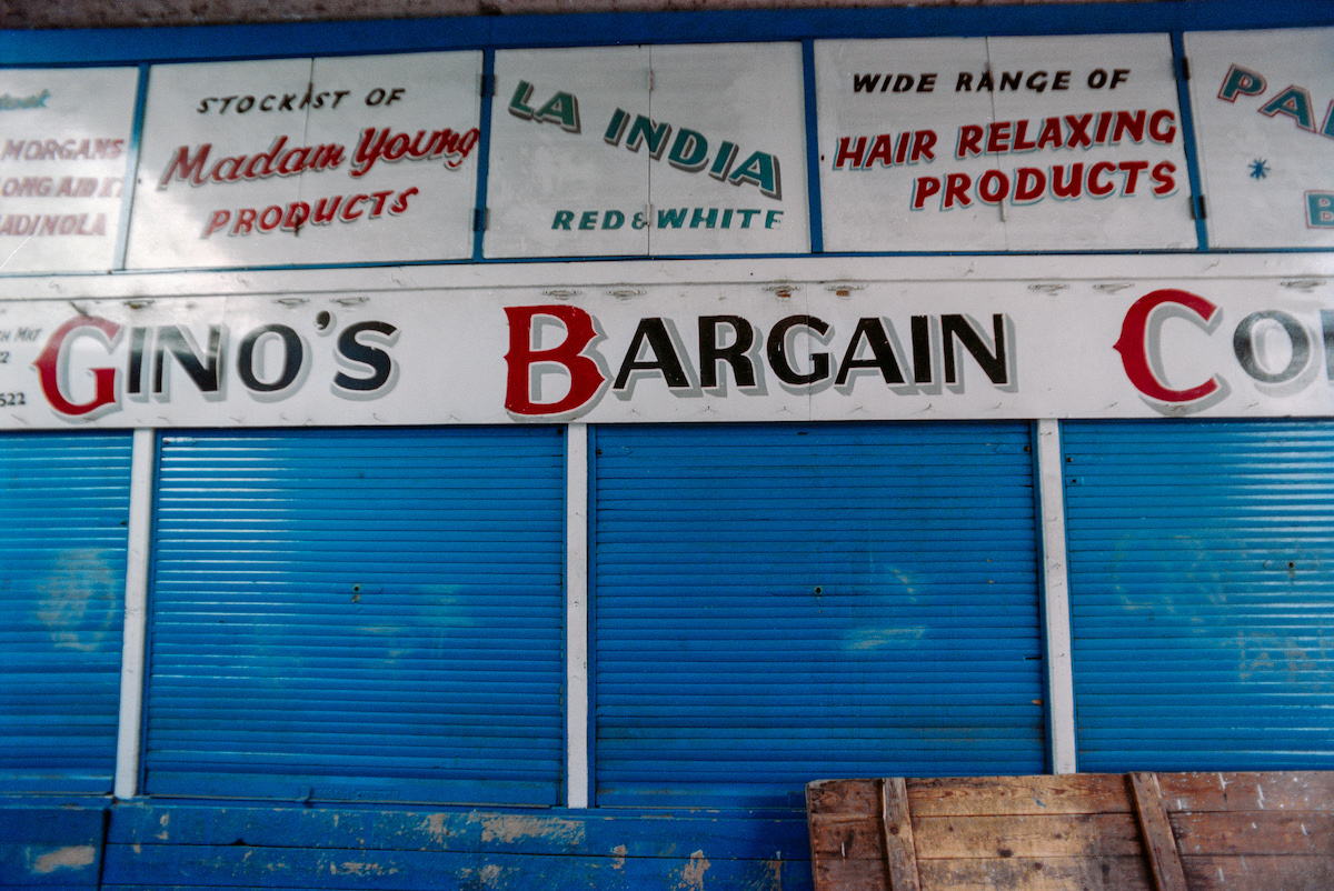
Posters, Uxbridge Rd, Shepherd’s Bush, 1990
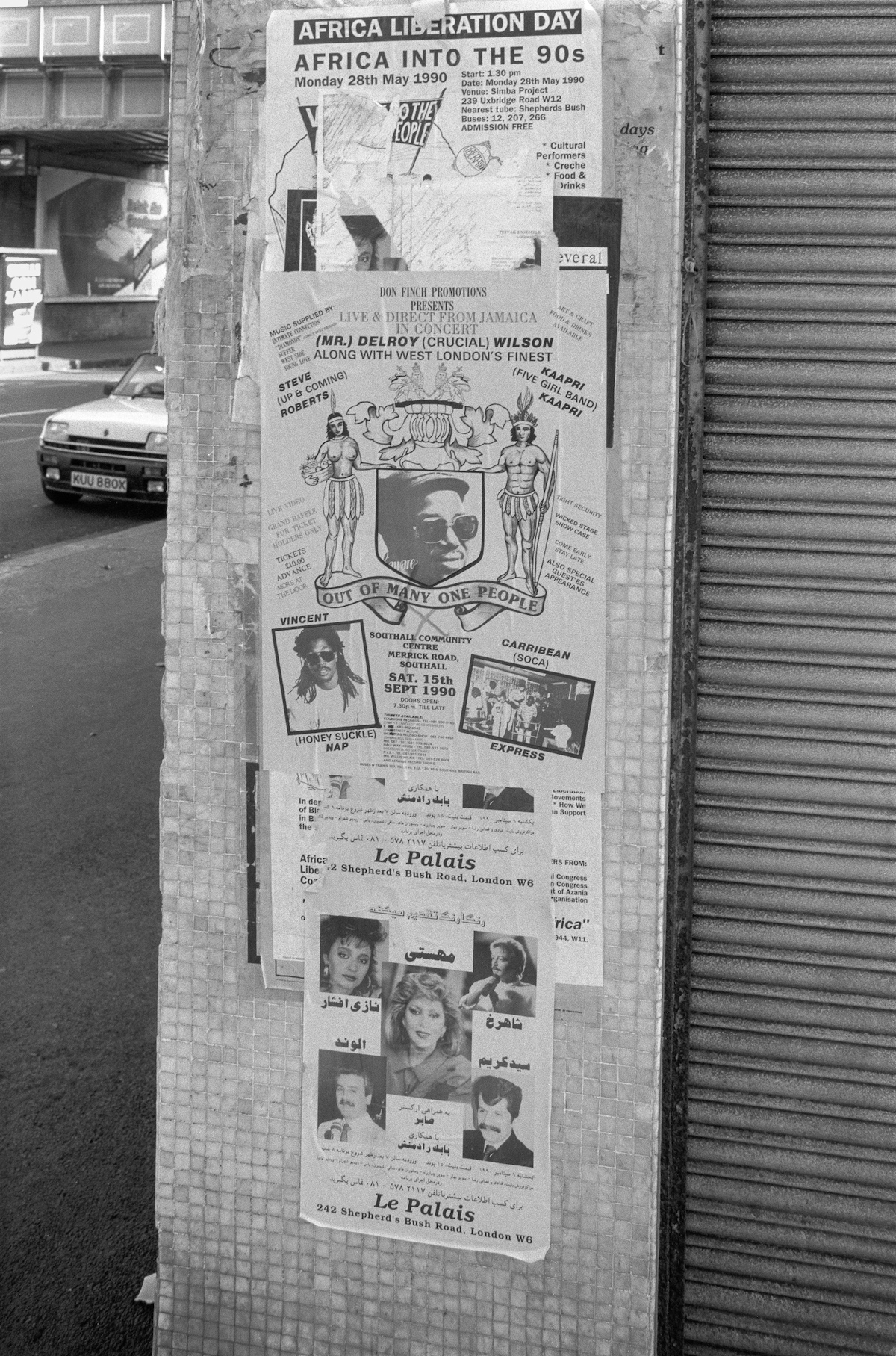
Posters, Uxbridge Rd, 1990
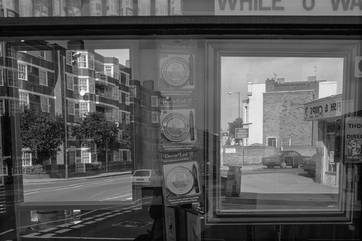
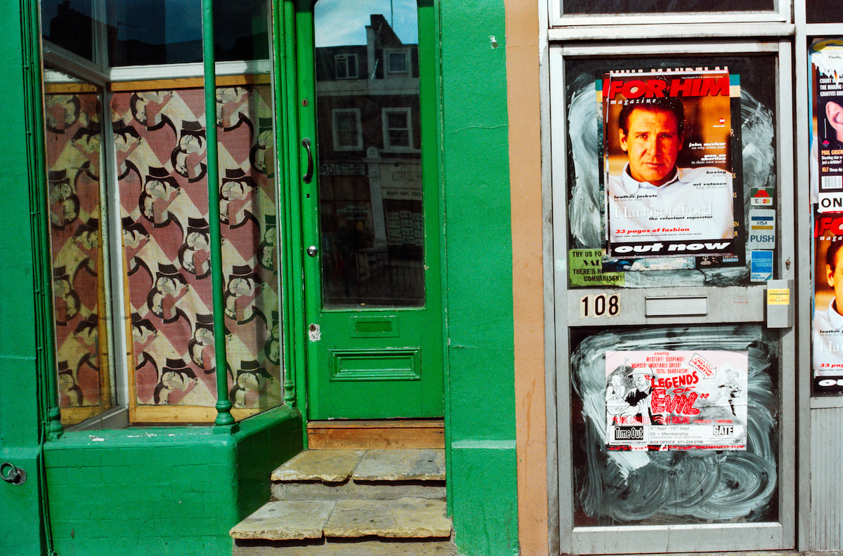
Reflection, Askew Rd, 1990
Shepherds Bush Green, 1988

Shepherds Bush Place, 1990
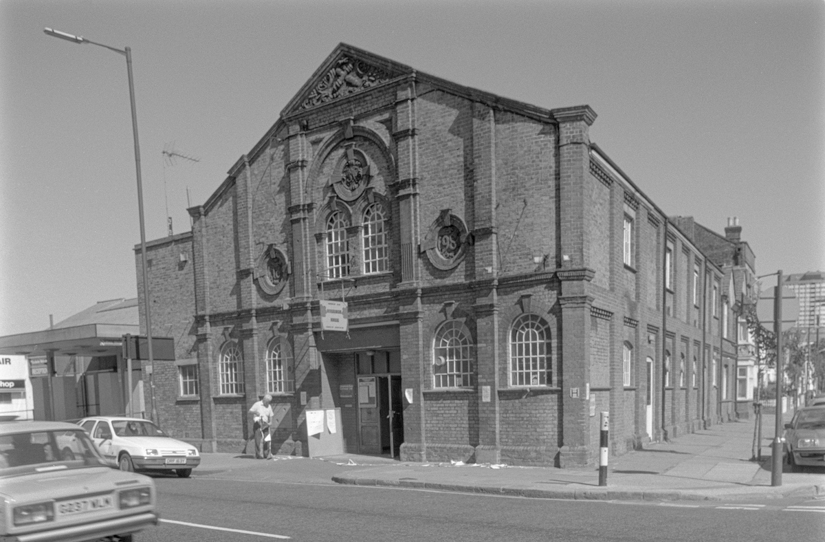
Shepherds Bush Village Hall, 1990.
Built in 1898 as the drill hall for the 1st City of London Volunteer Artillery, it became a hall owned by the London Borough of Hammersmith and Fulham until sold to the Wigoder Family Foundation in 2012. It continues to be used by various local organisations and charities including the West London School of Dance.
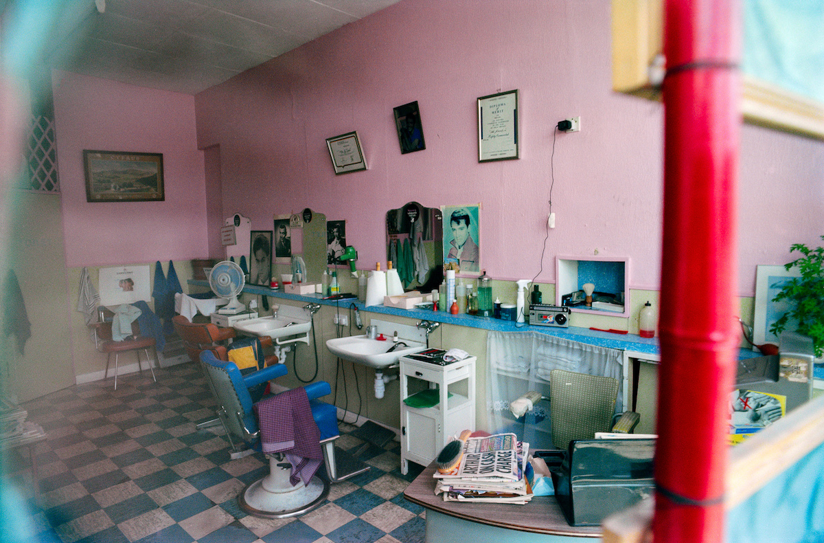
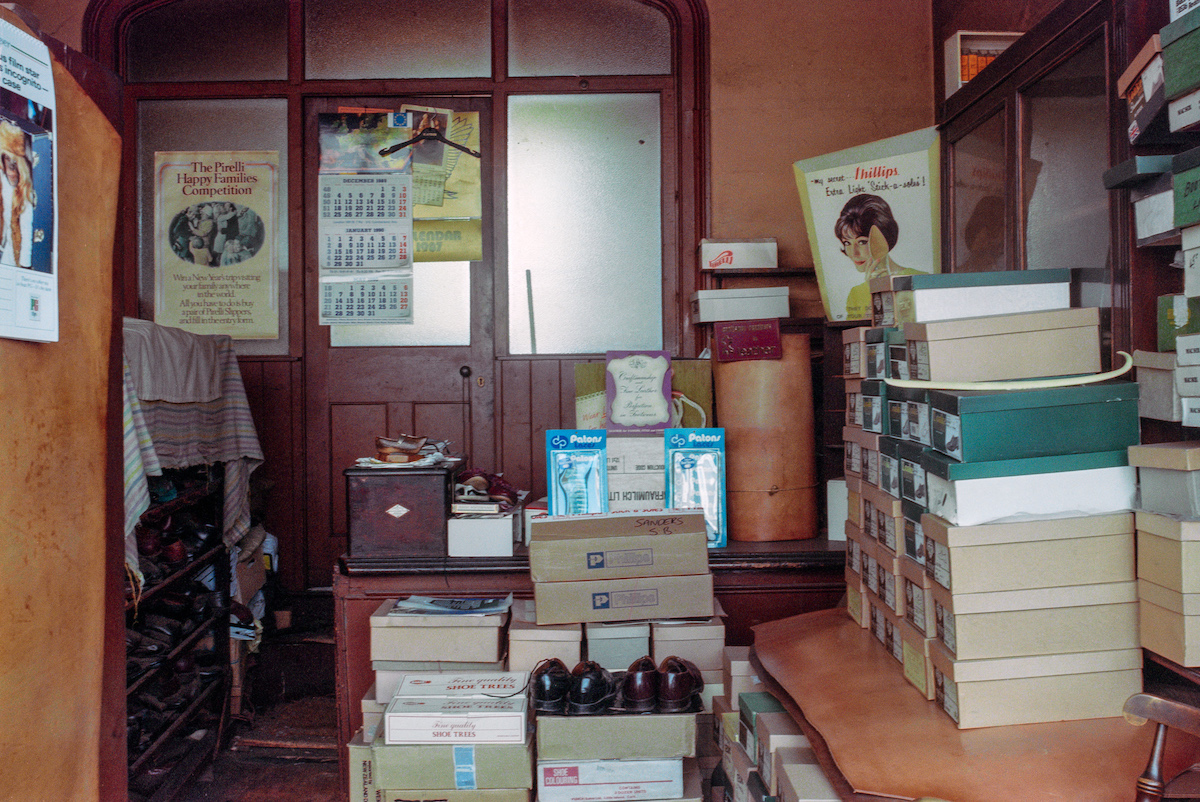
Shepherds Bush, 1990
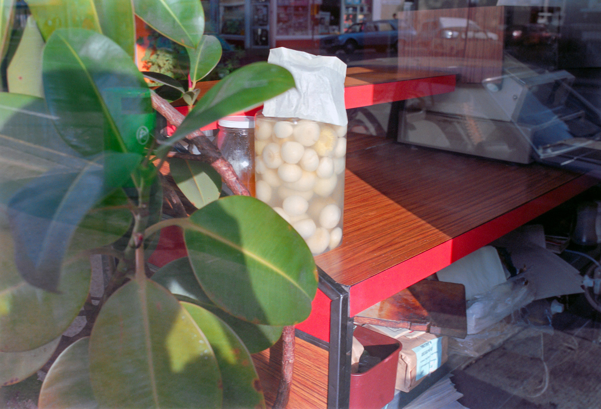
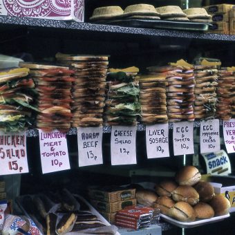
Pickled Eggs – Shepherds Bush, 1990
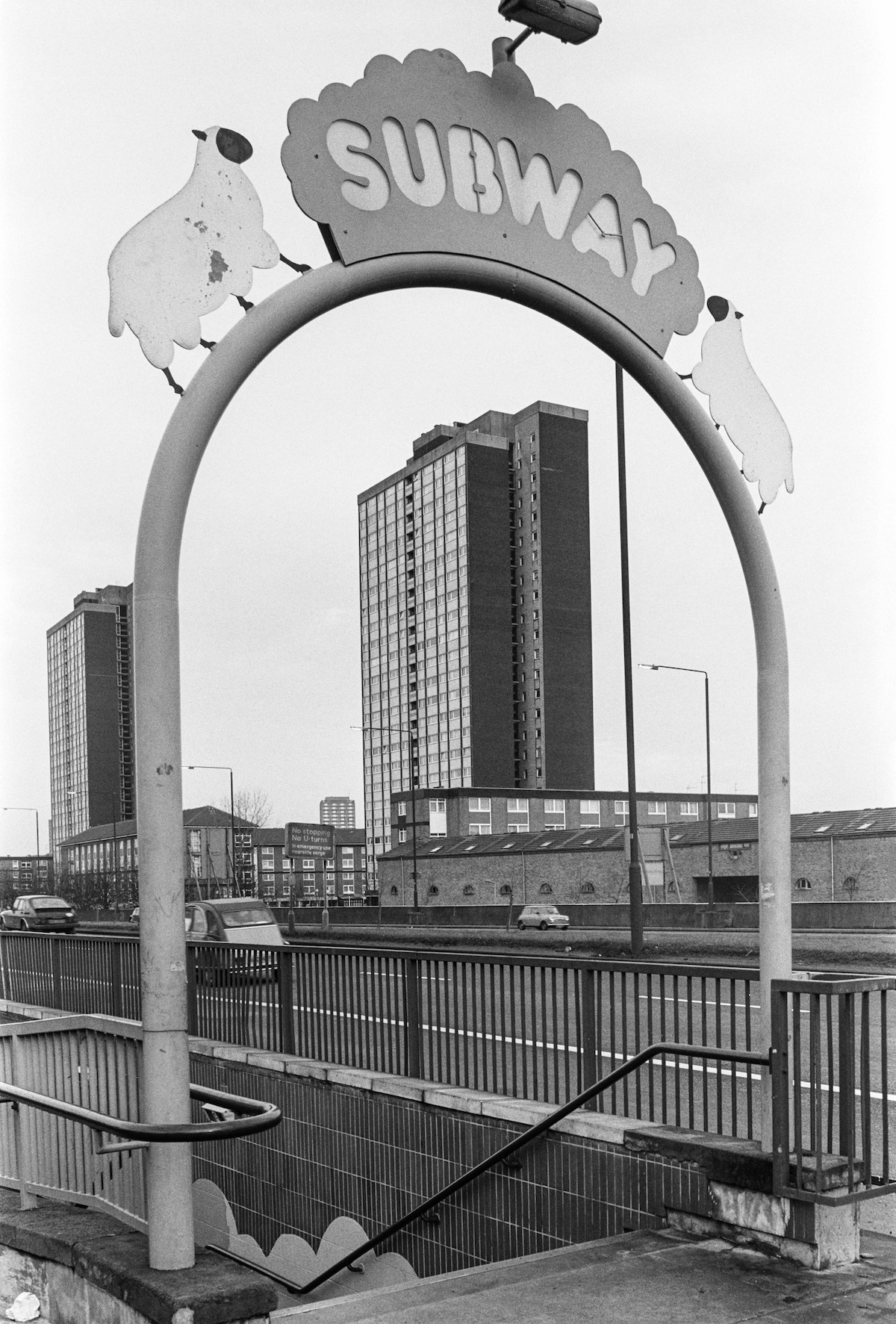
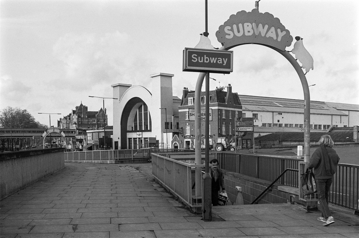
Subway, Shepherds Bush, Roundabout, 1988
Uxbridge Rd, 1990
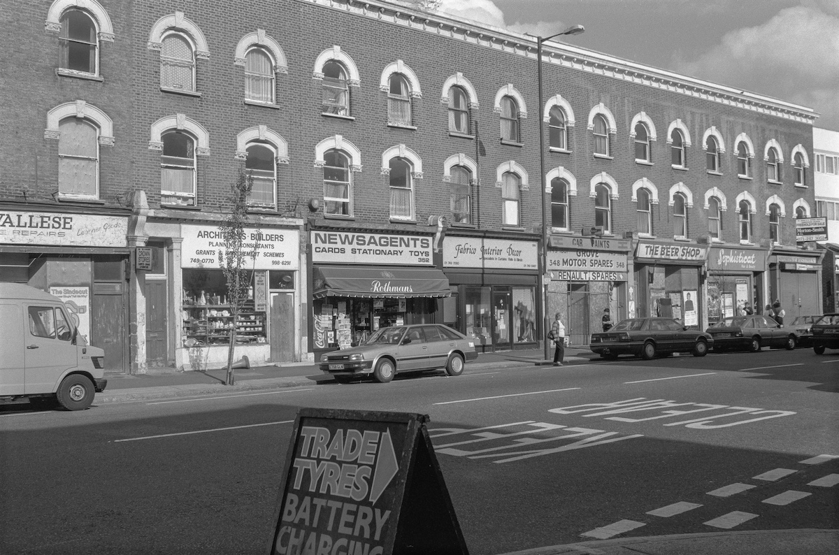
Uxbridge Rd, 1990
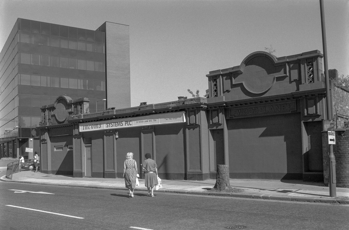
Former Wood Lane Station, Central Line, Wood Lane, Shepherds Bush, 1990

Would you like to support Flashbak?
Please consider making a donation to our site. We don't want to rely on ads to bring you the best of visual culture. You can also support us by signing up to our Mailing List. And you can also follow us on Facebook, Instagram and Twitter. For great art and culture delivered to your door, visit our shop.